


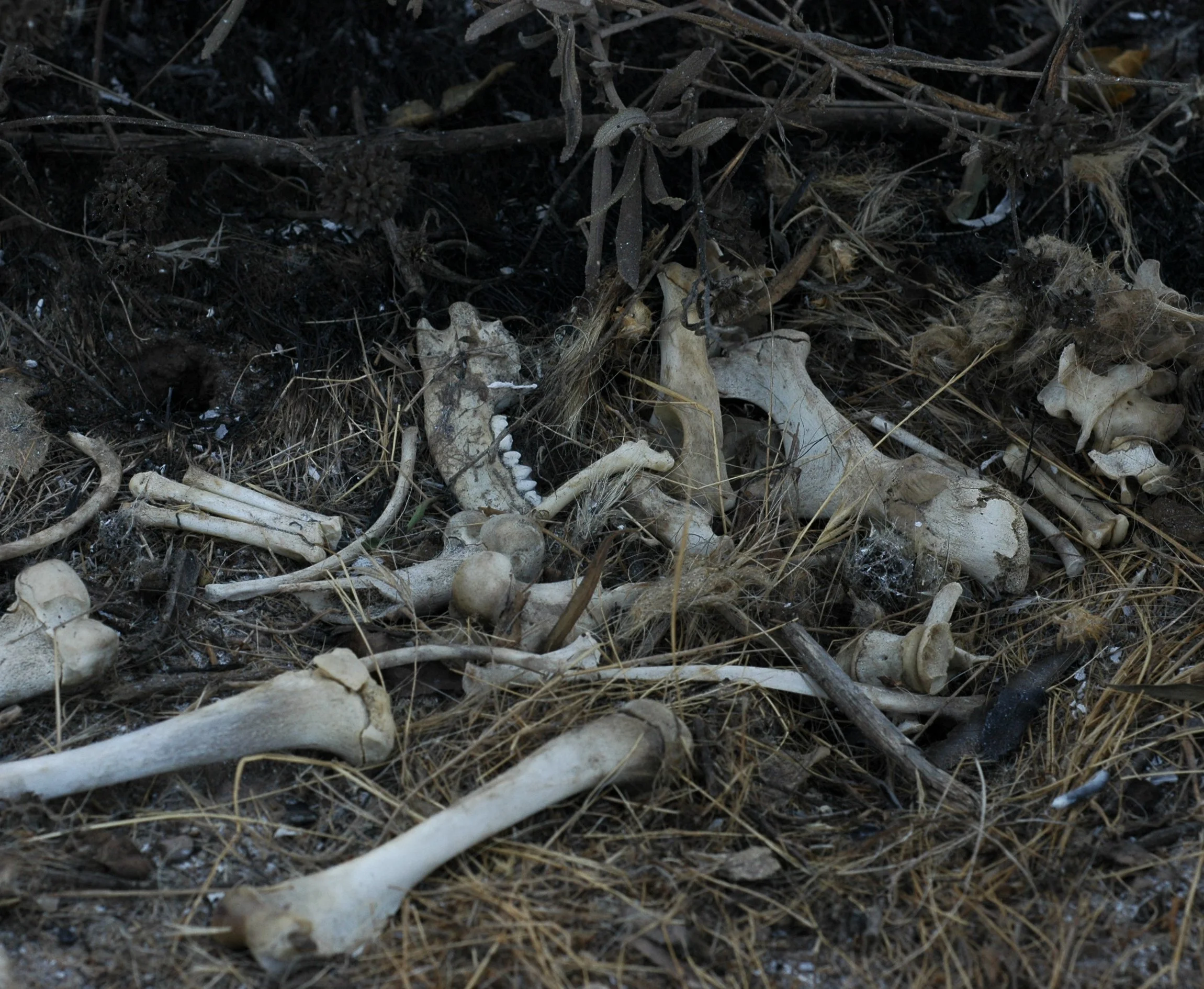
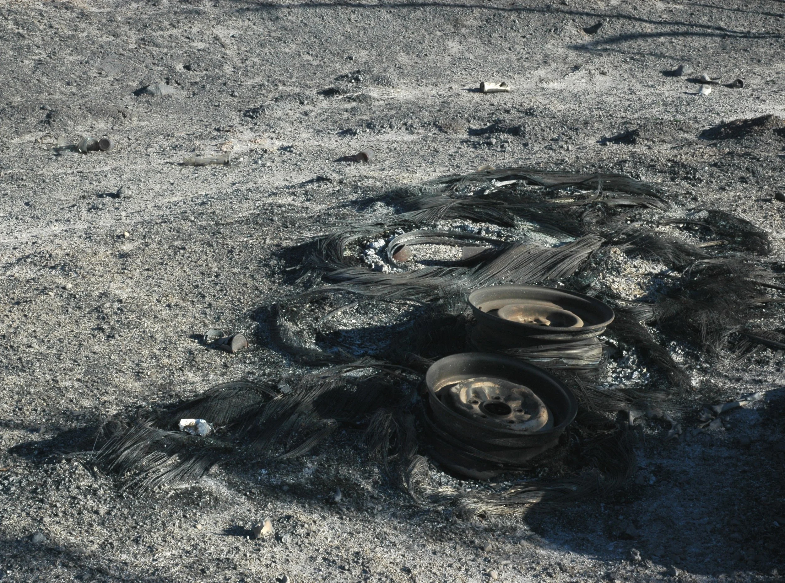
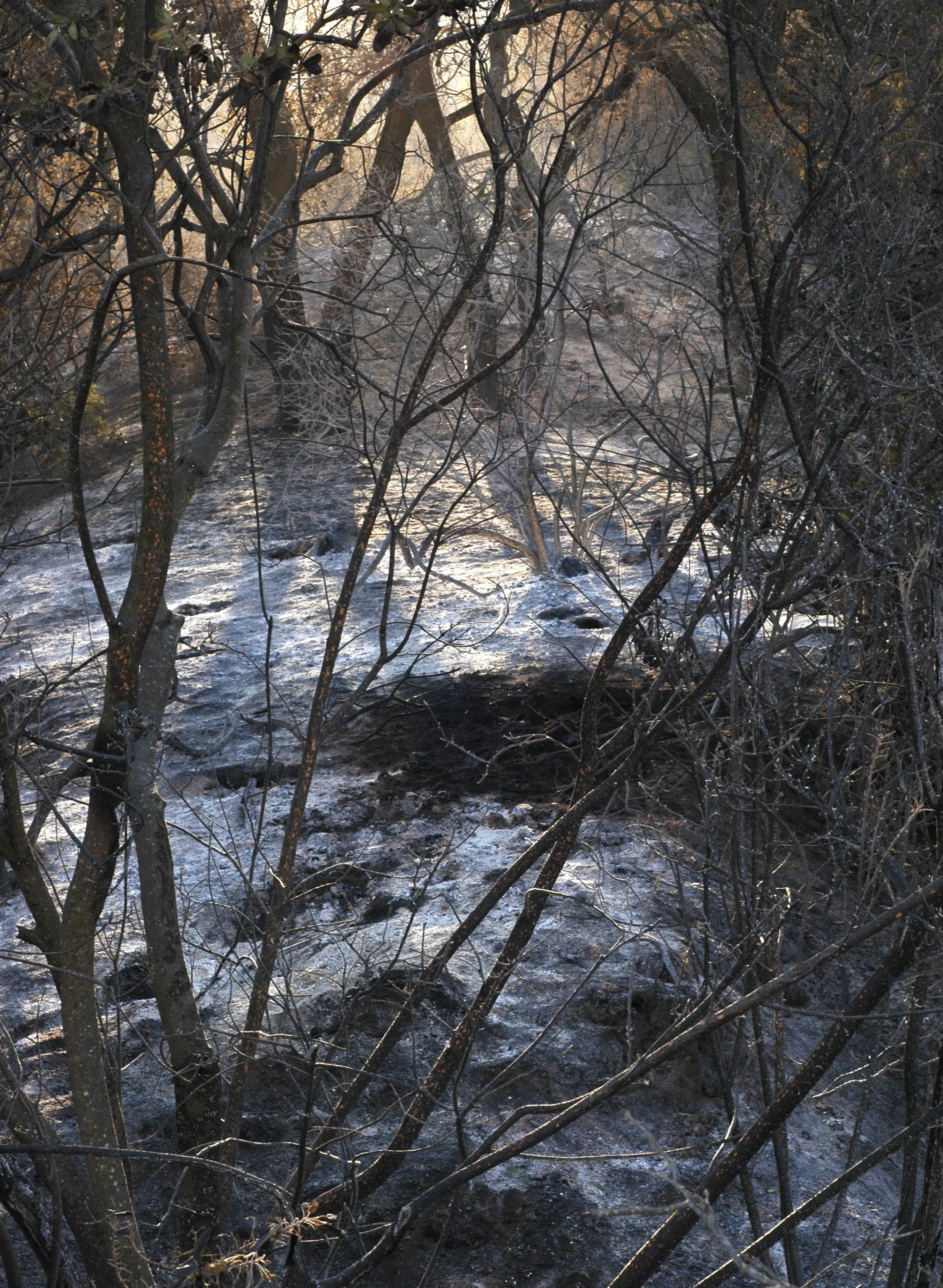
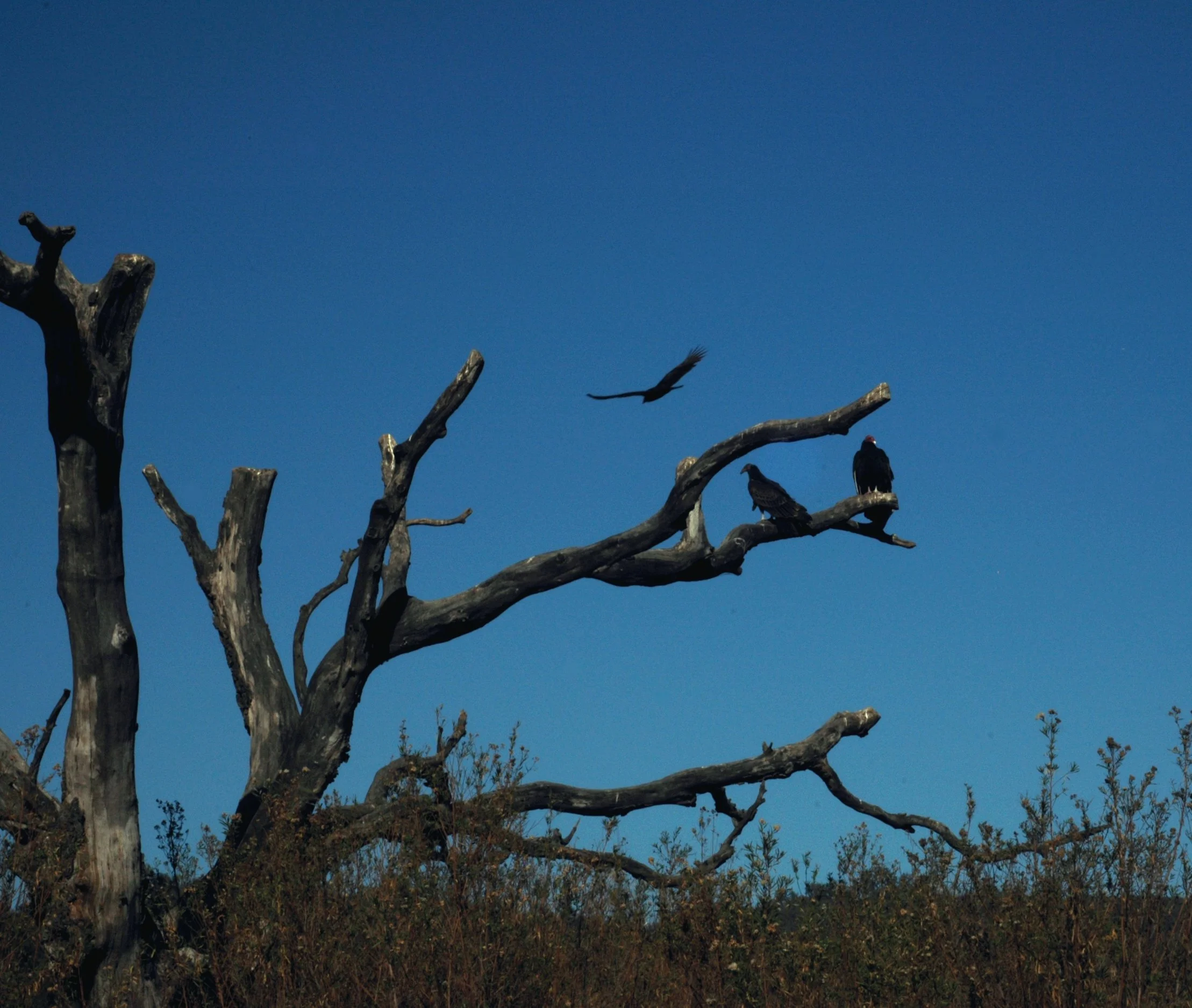
Thomas Fire
Ojai, CA 12/11–17/2017:

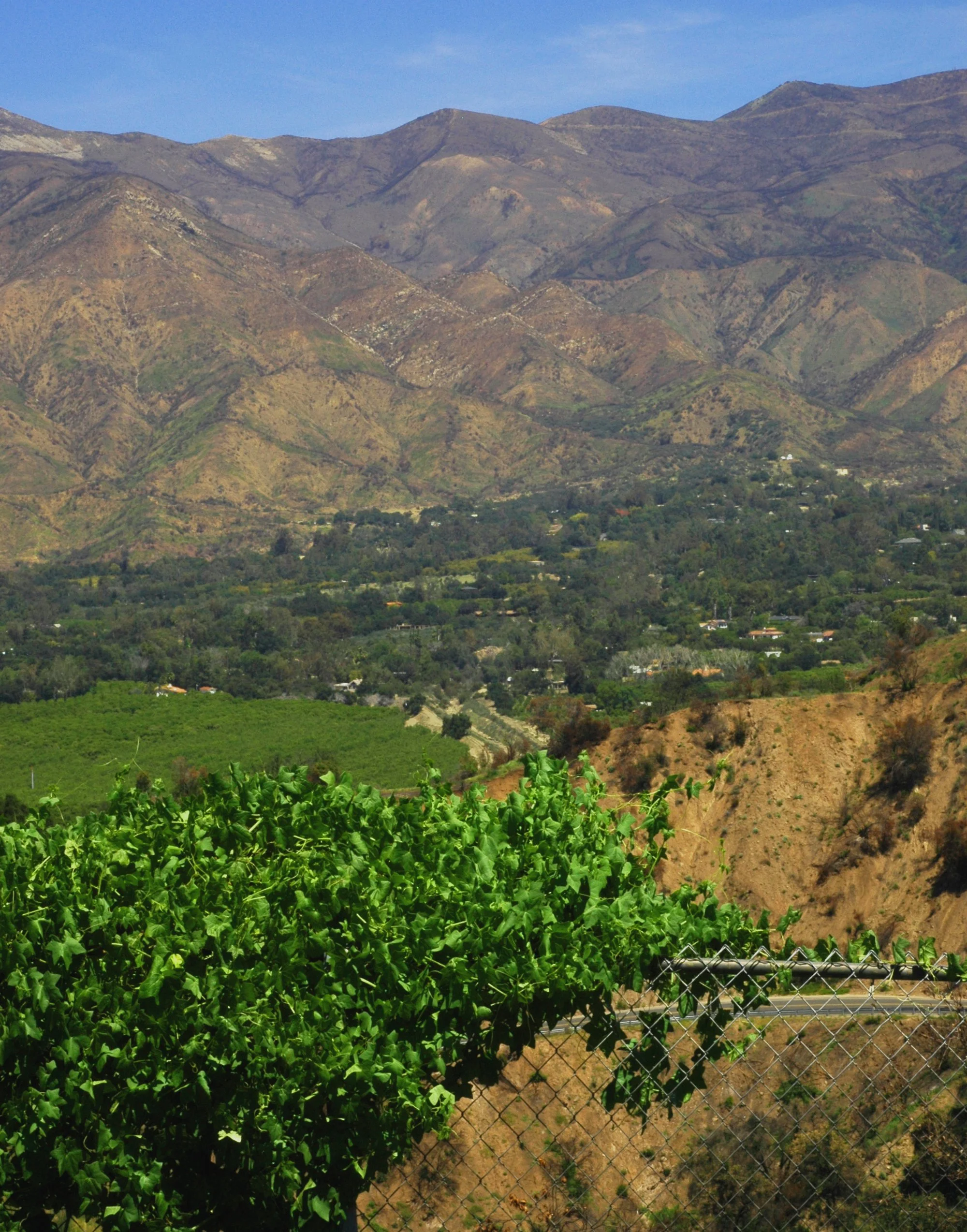
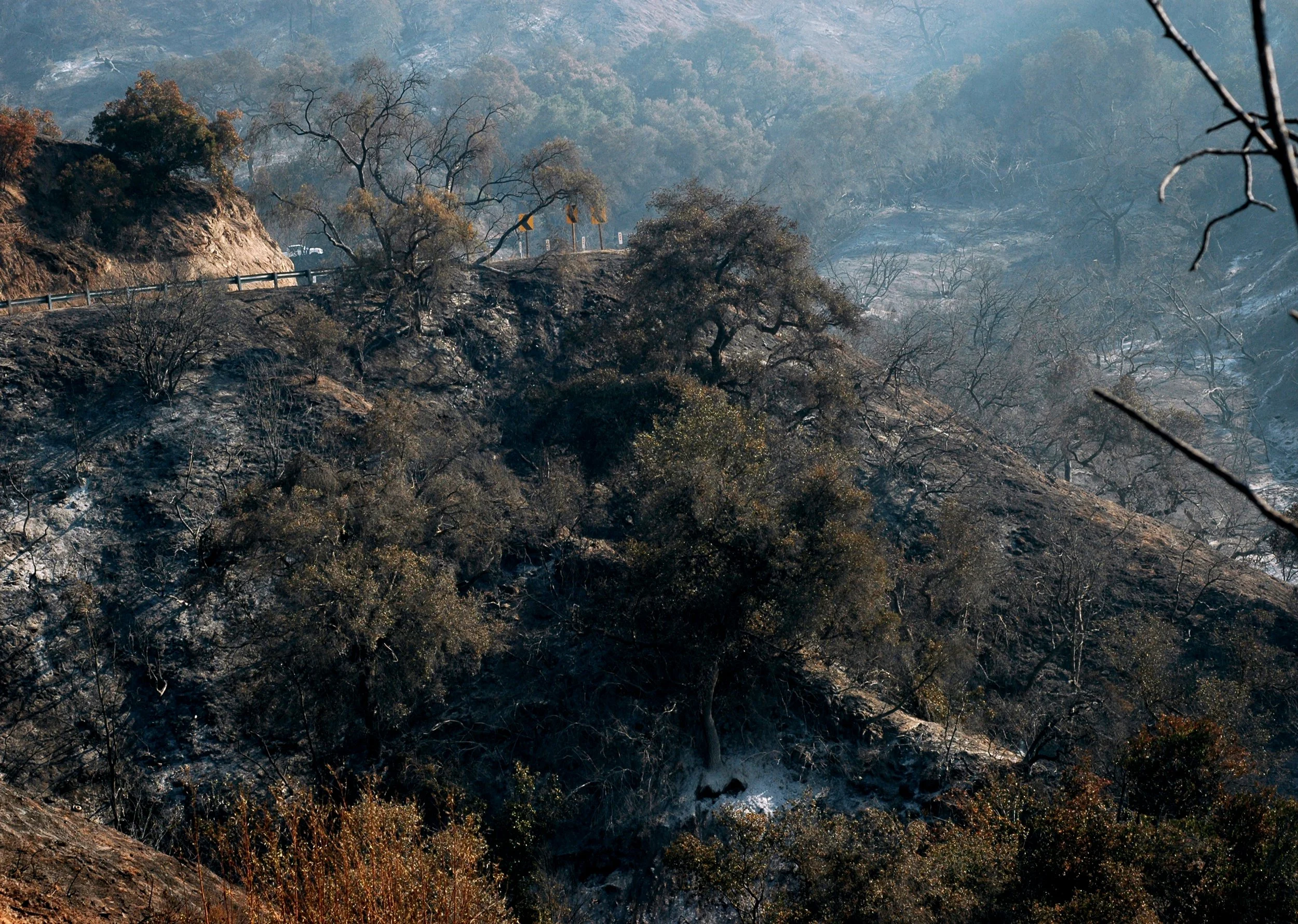
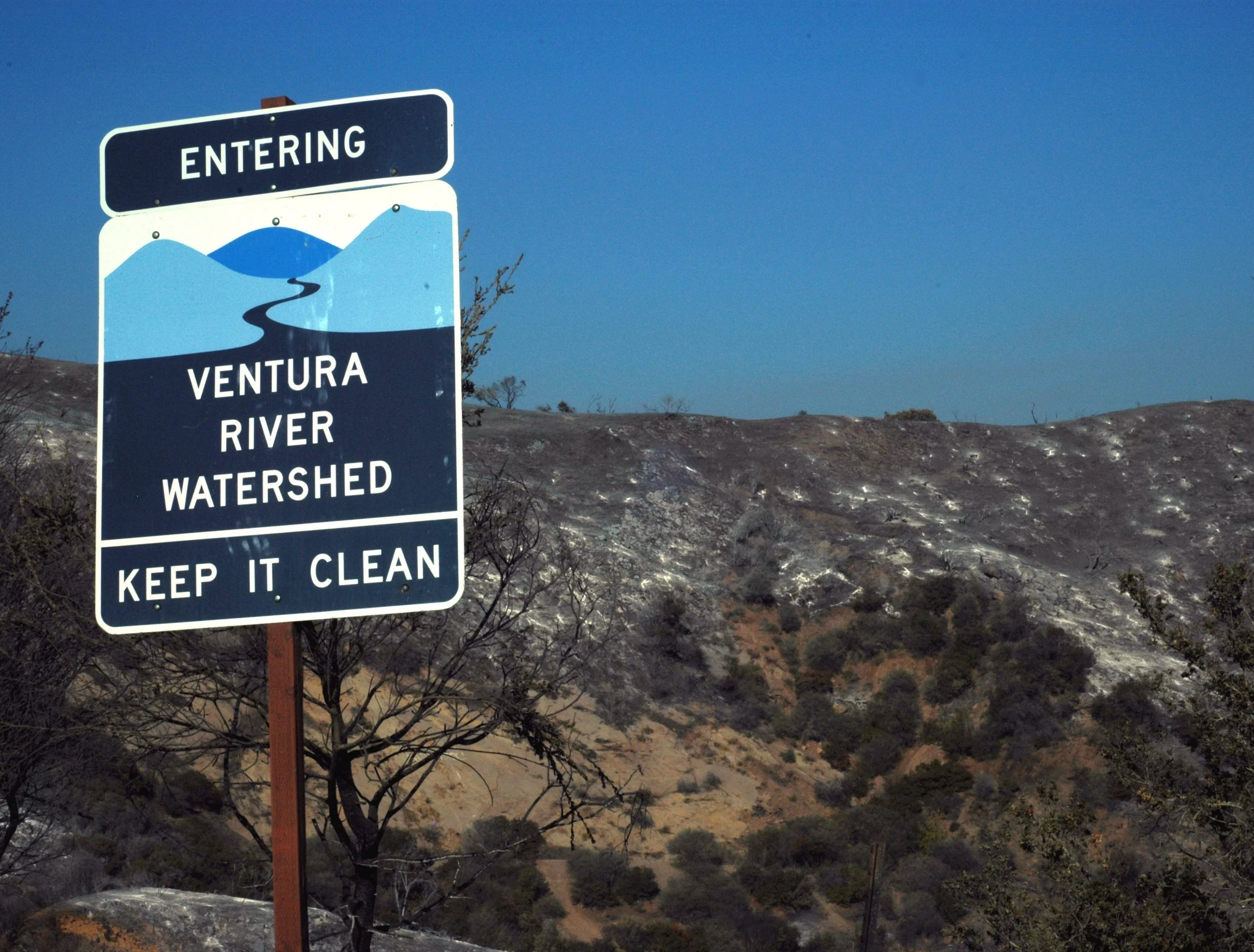
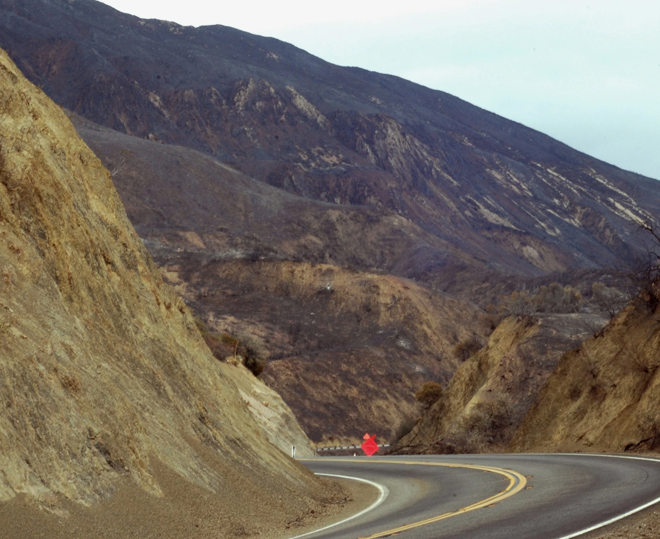
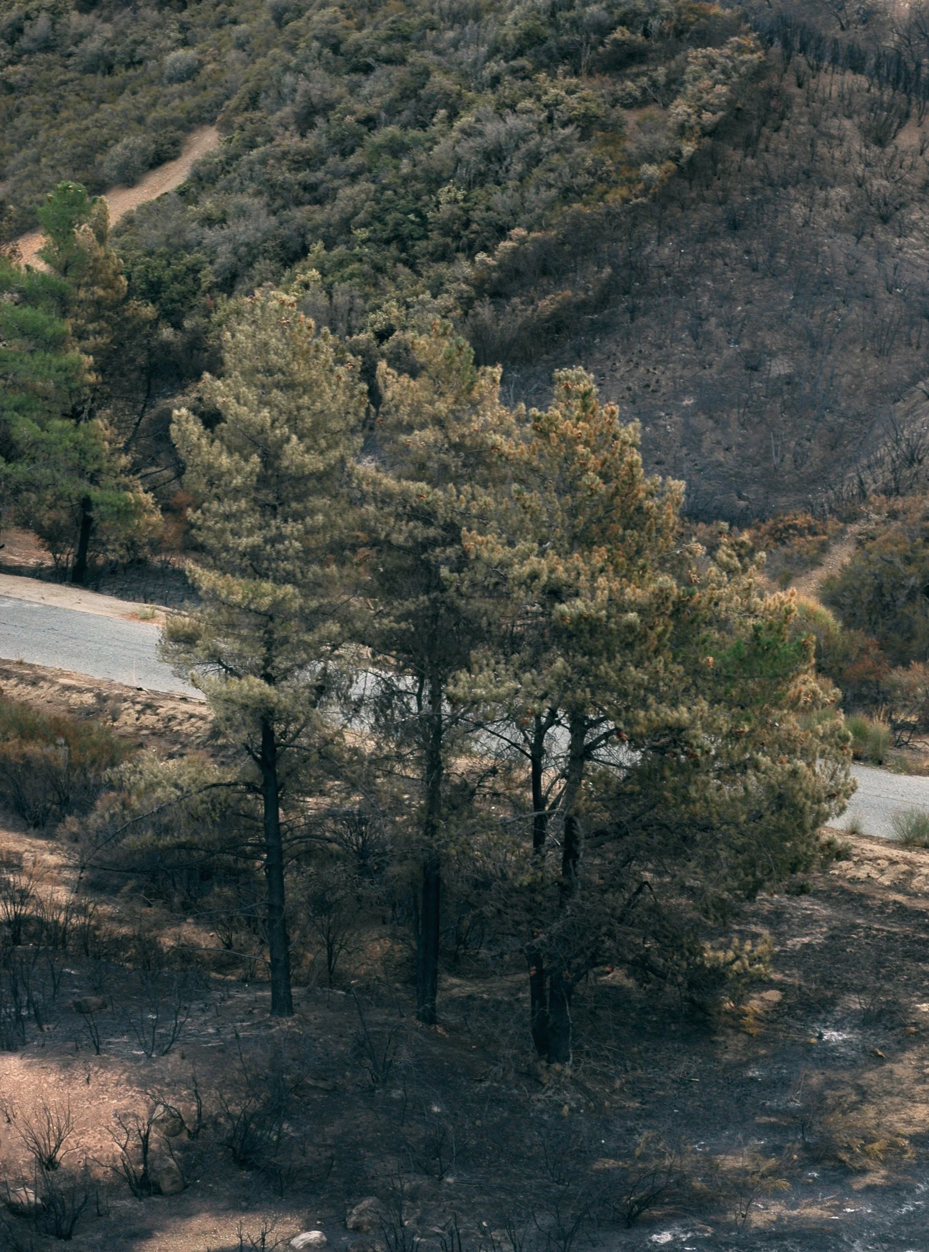
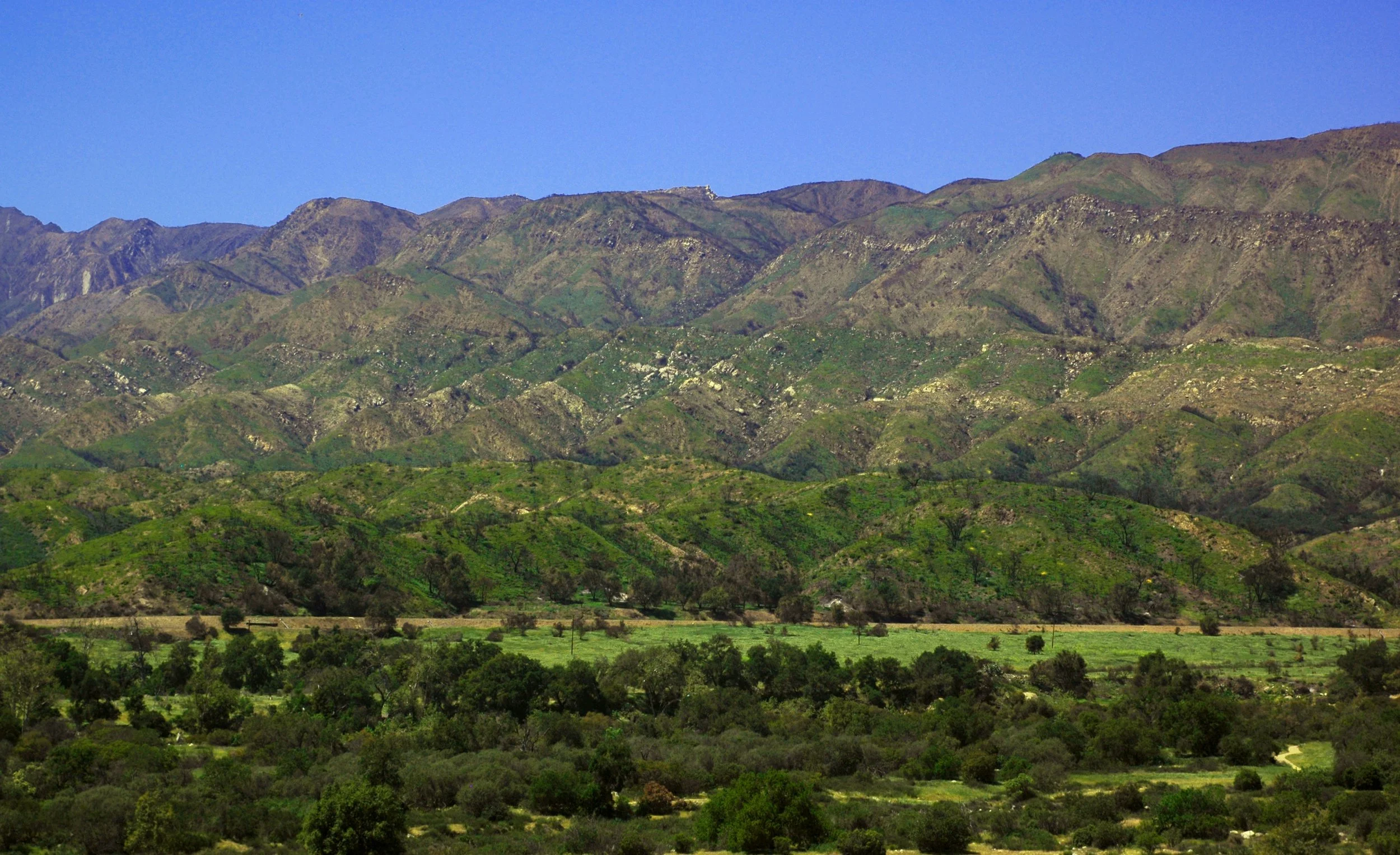
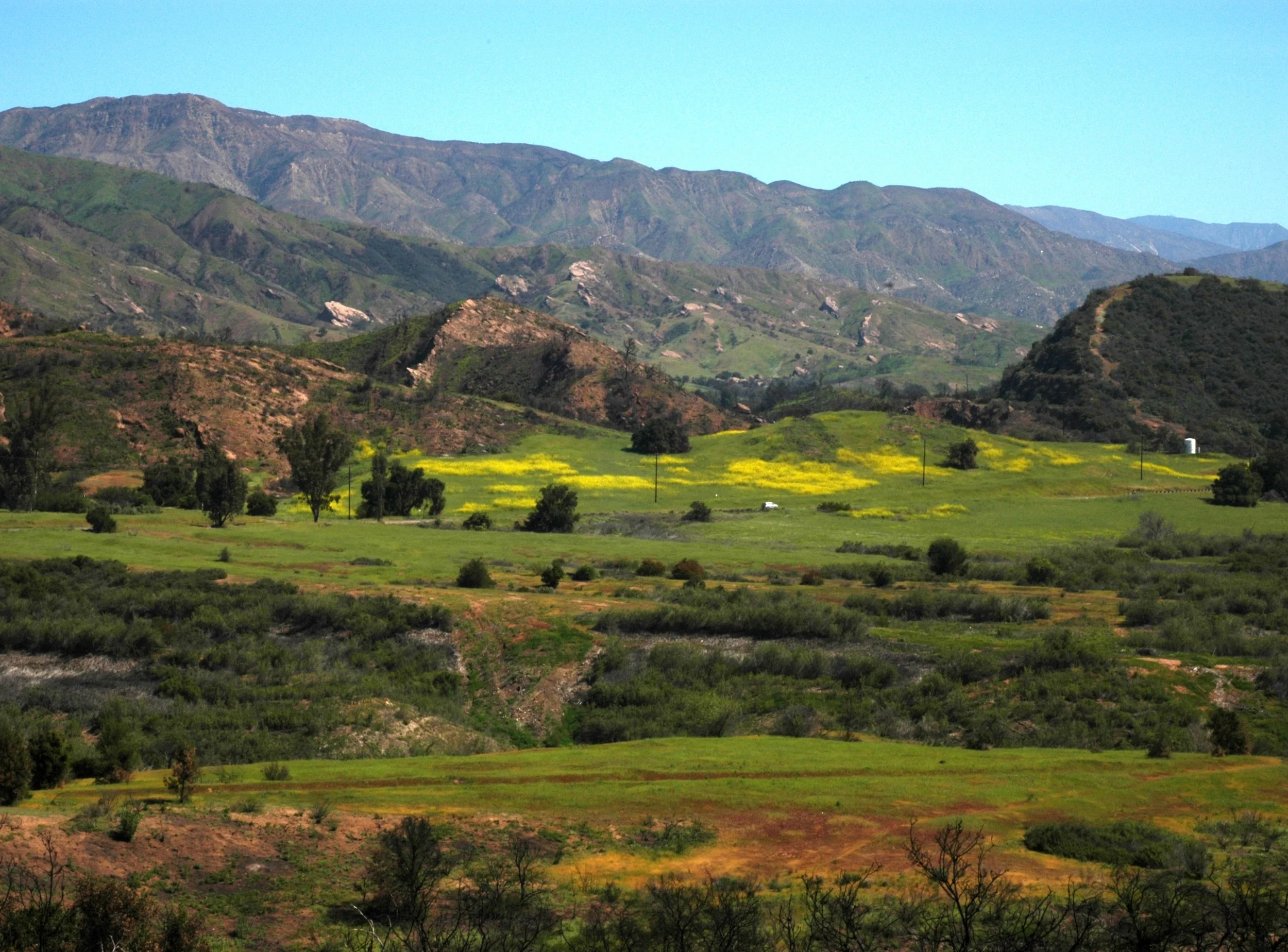
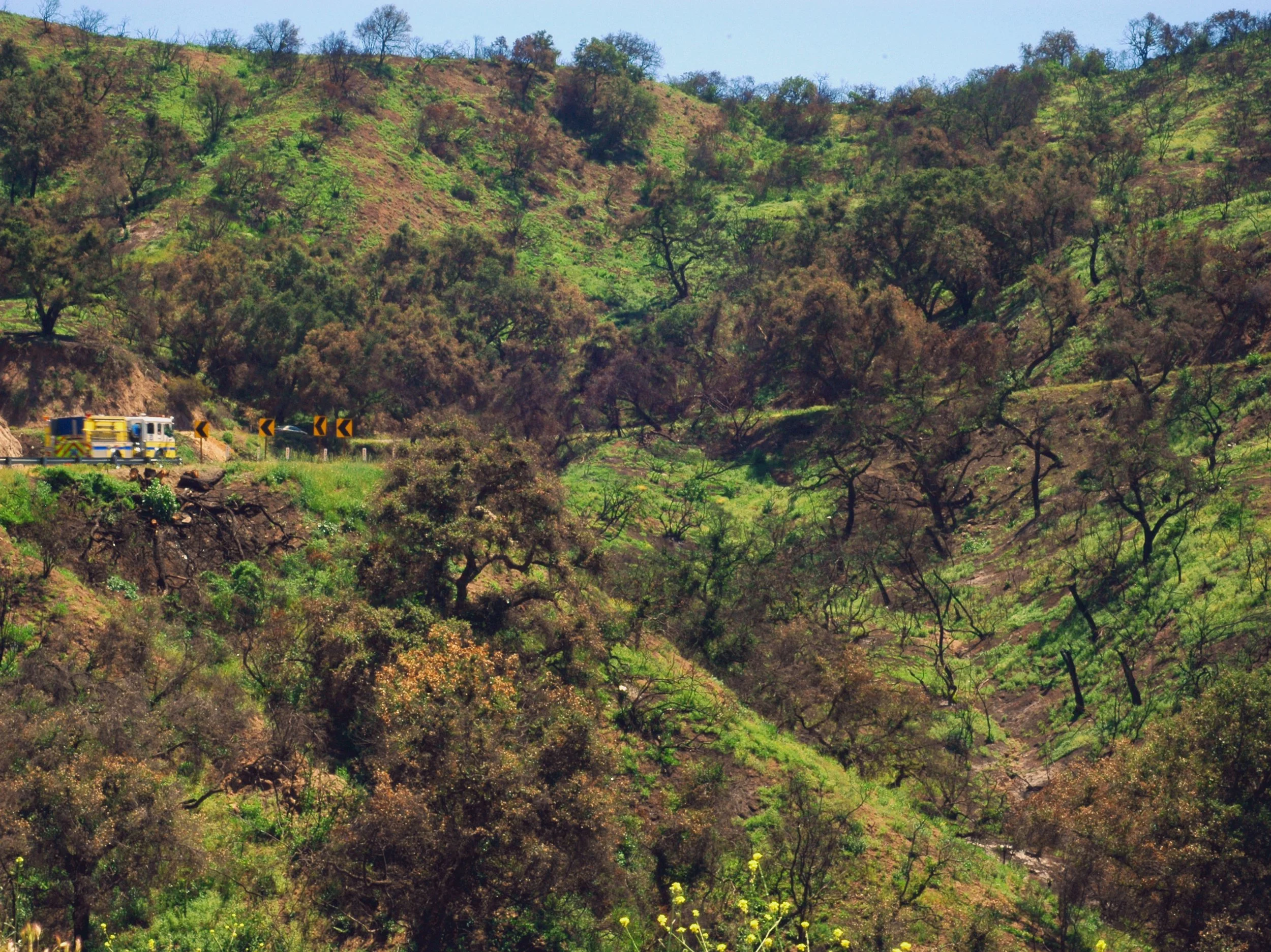
Hwy 150 West

Rice Road River 8pm 12/11

Rice Road River 8pm 12/11

Rice Road River View
Rice Road River 12/14

Rancho Matilija 1

Rancho Matilija 2
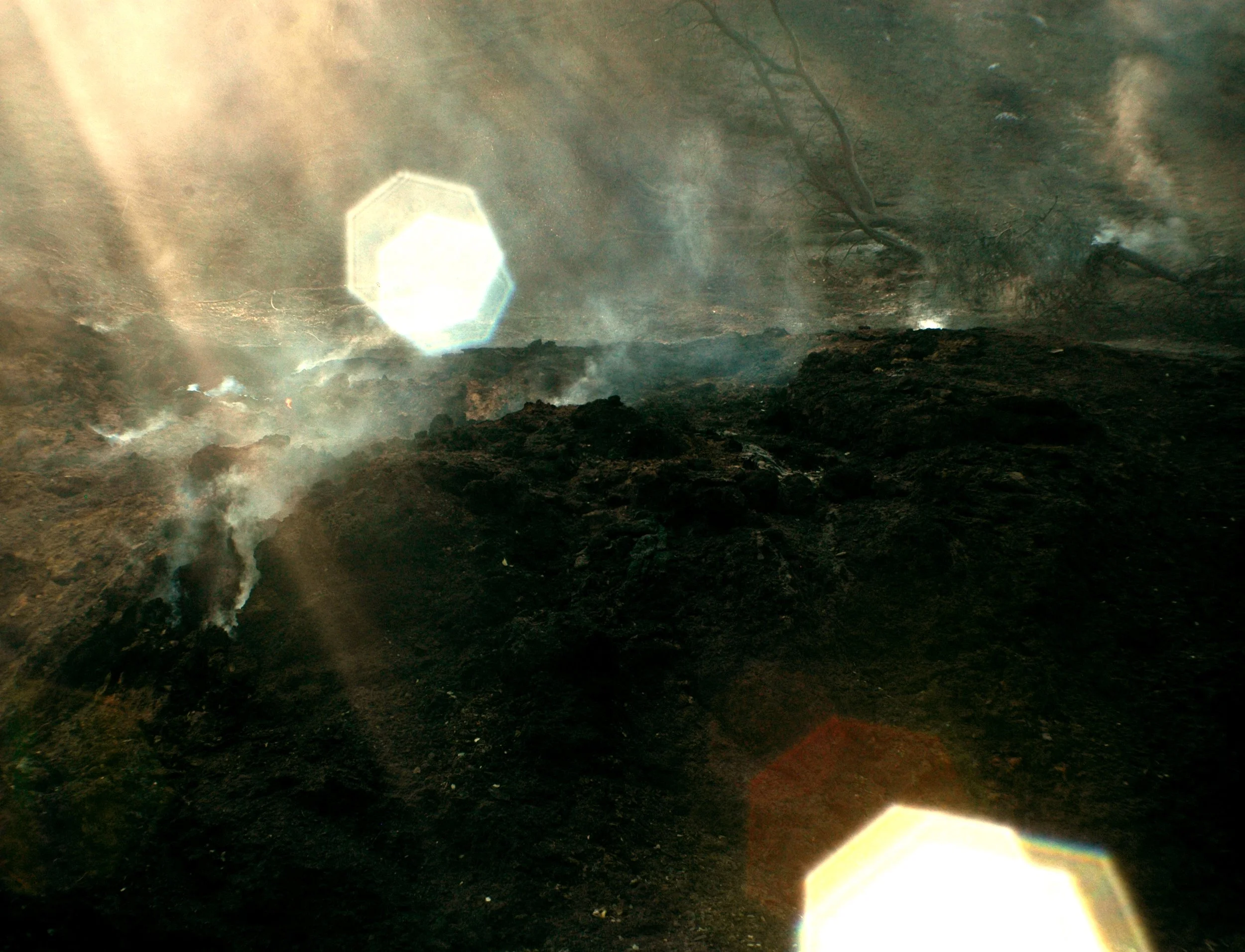
Fairview


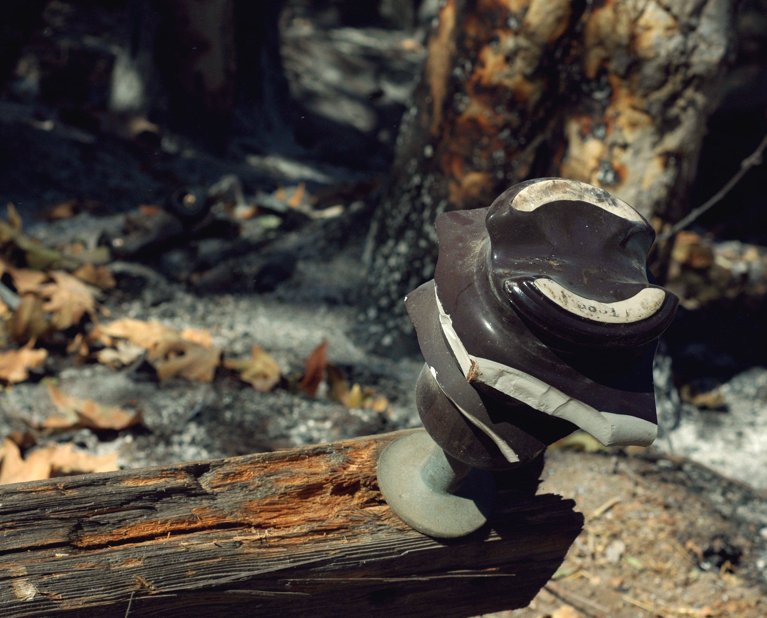


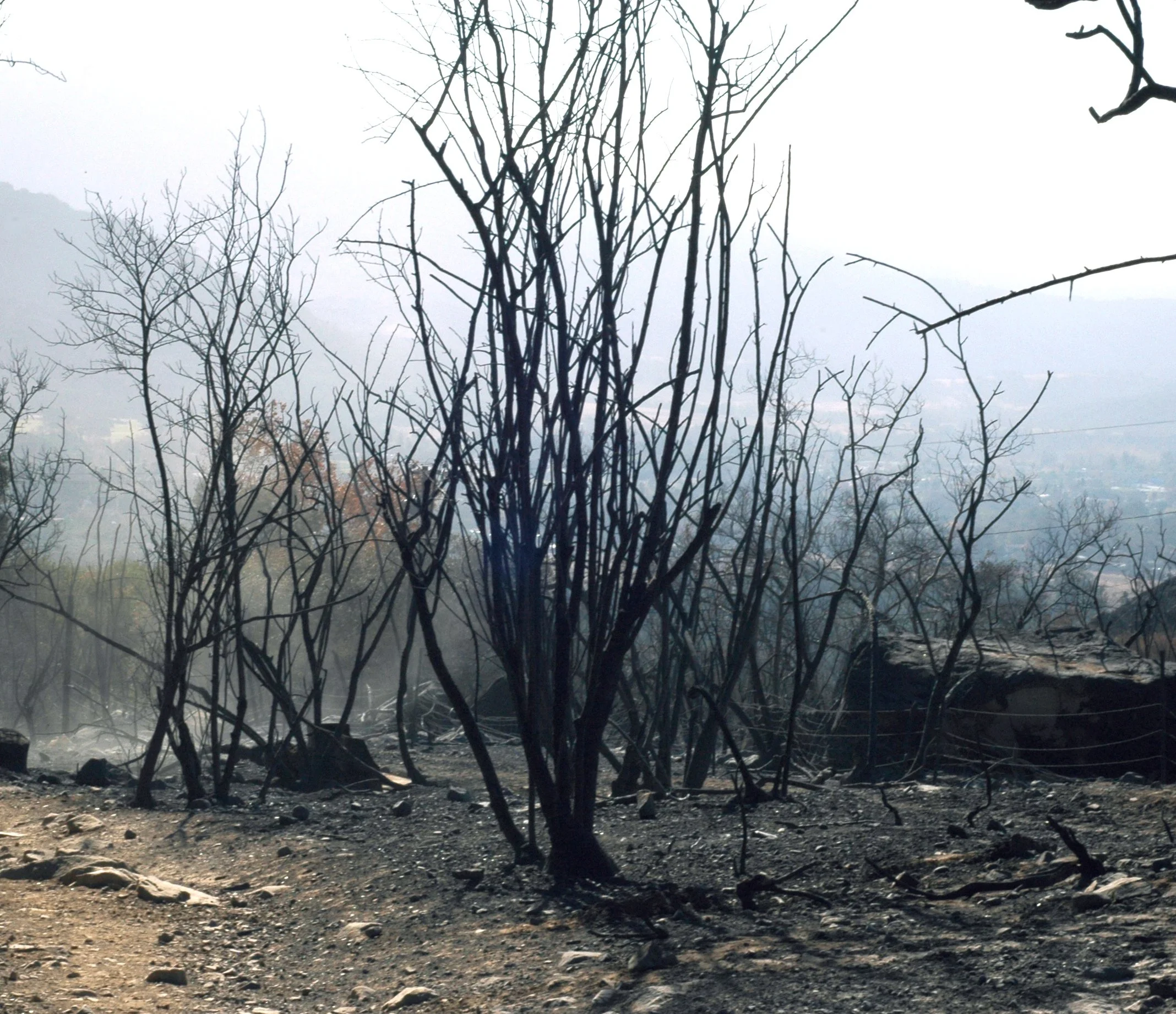
Burnt Sycamore

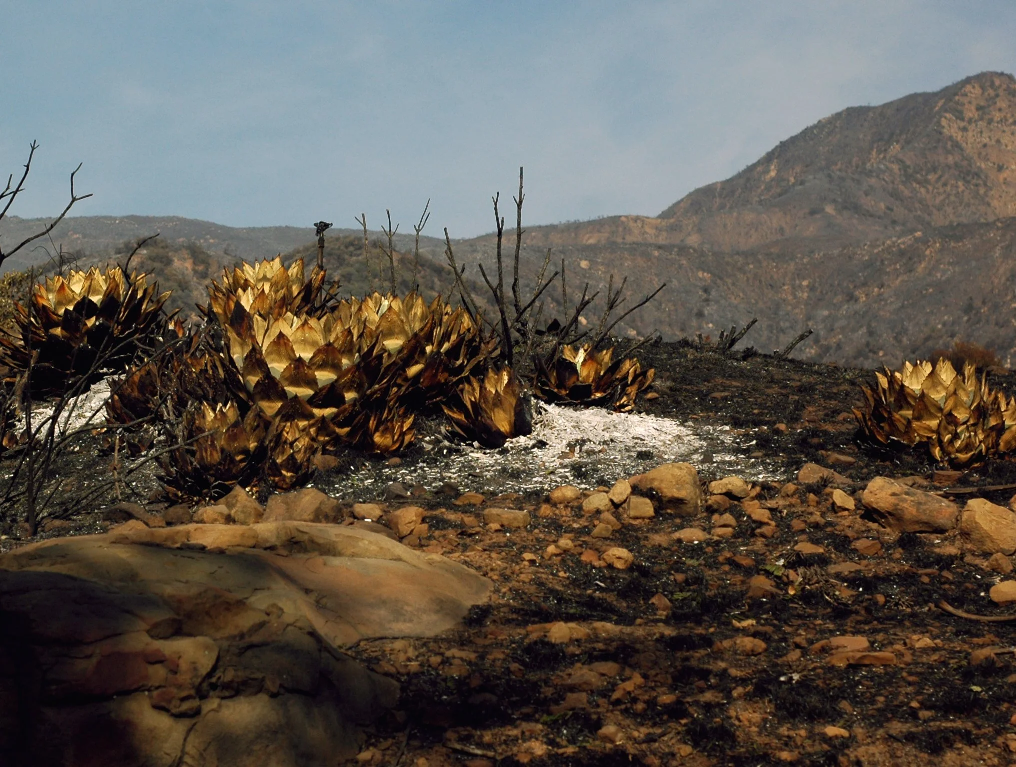
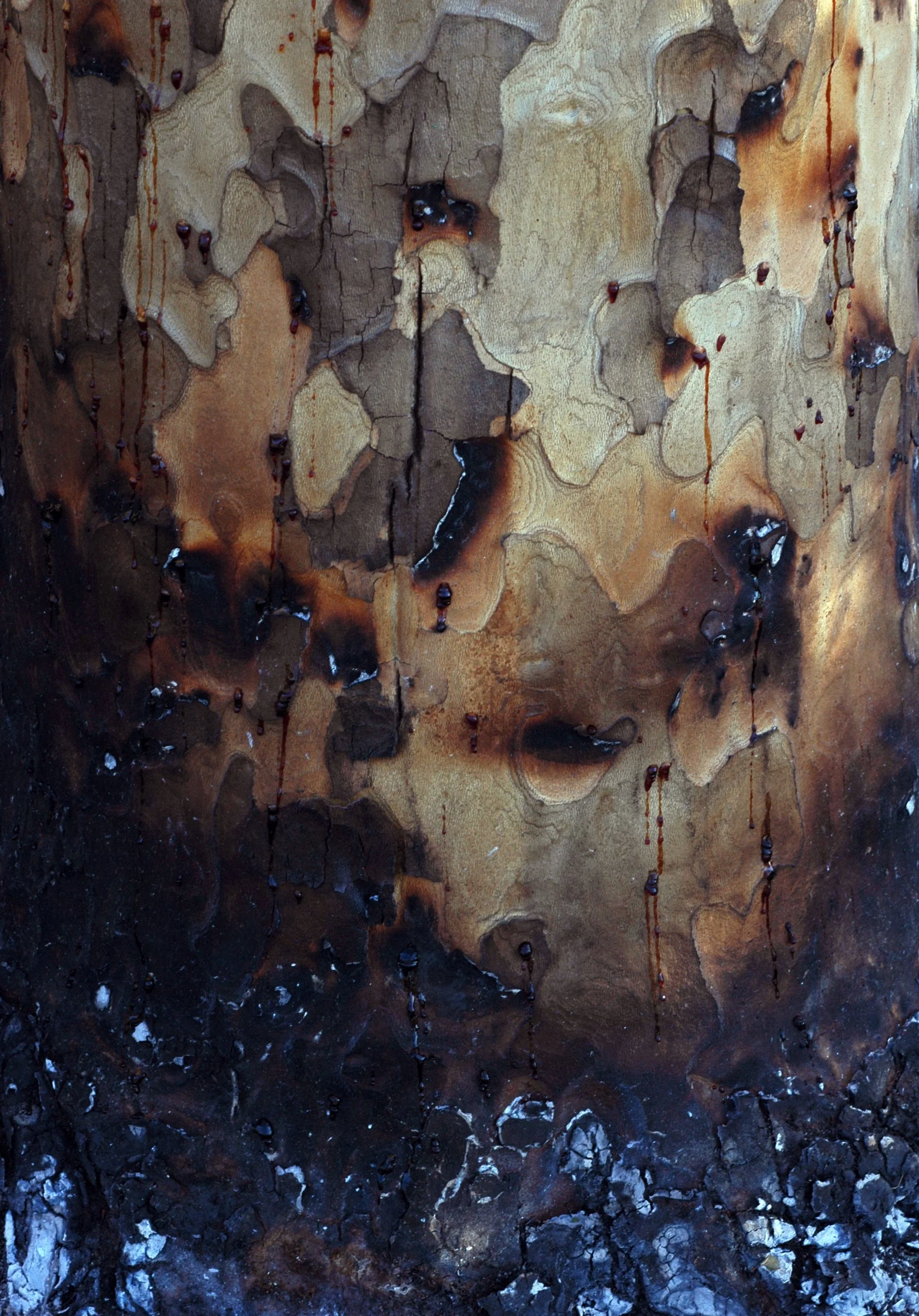
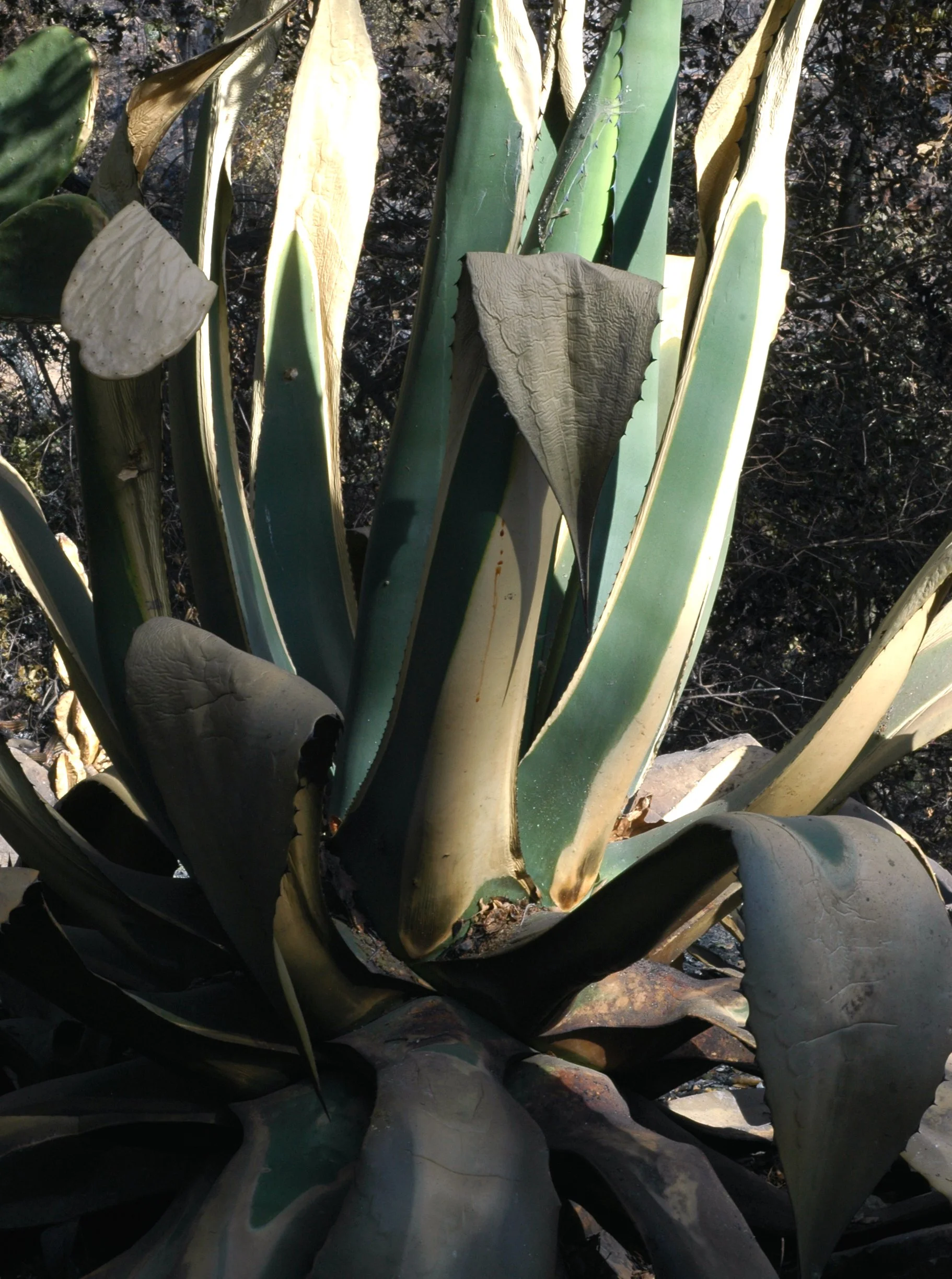
Burnt Aloe

Burnt Avocado

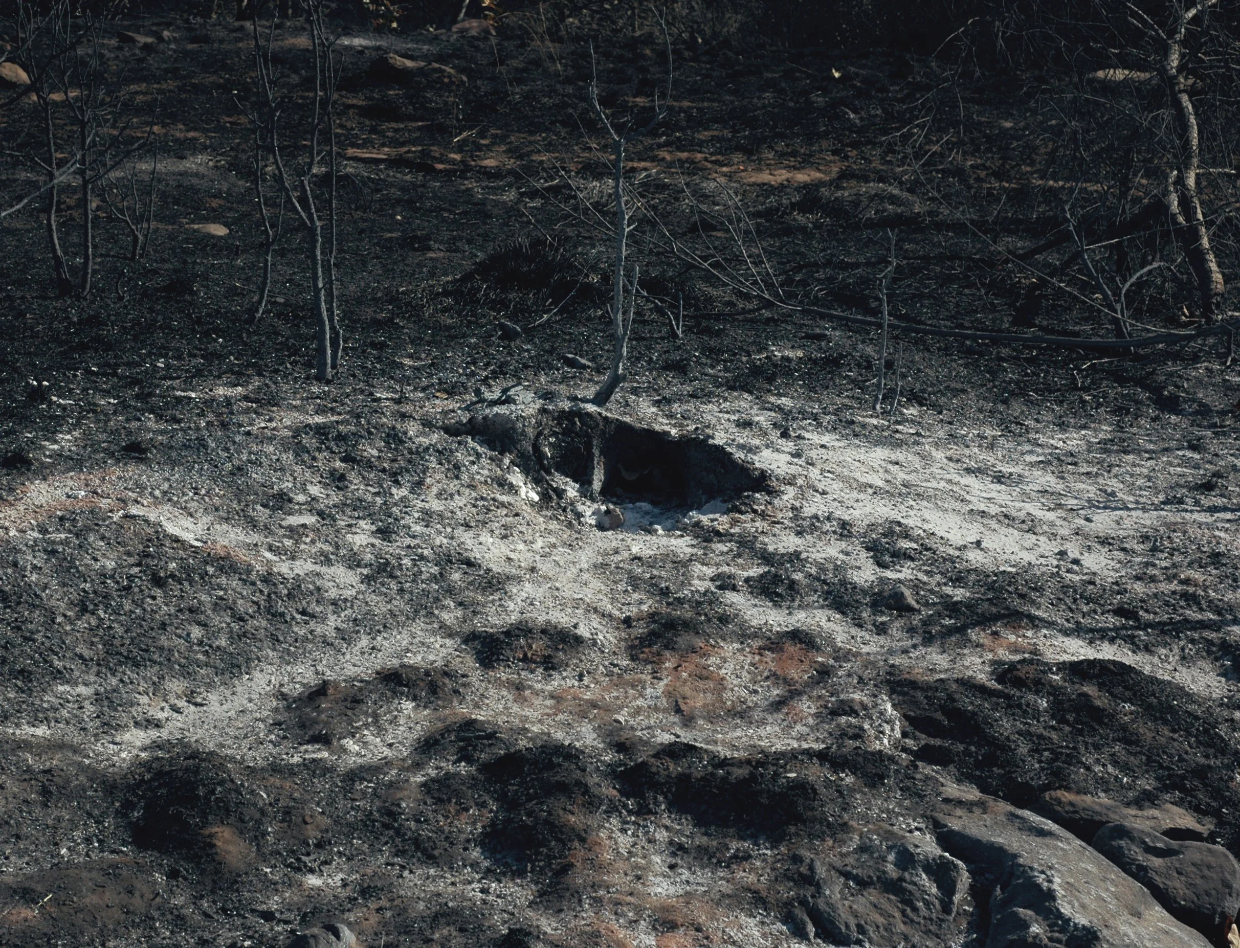
Gridley Traildead
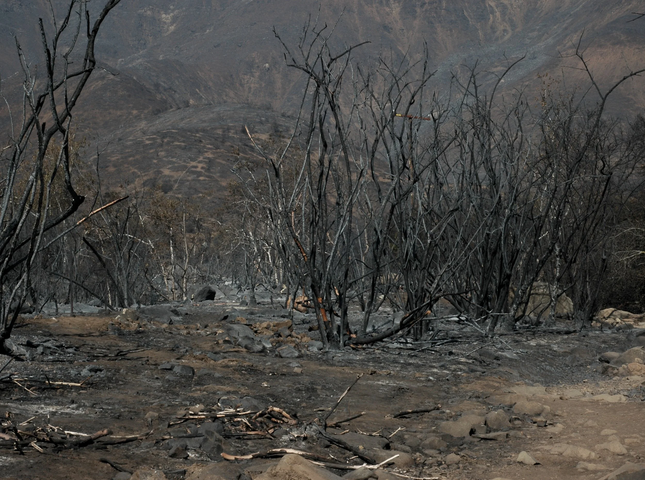
Gridley Trail

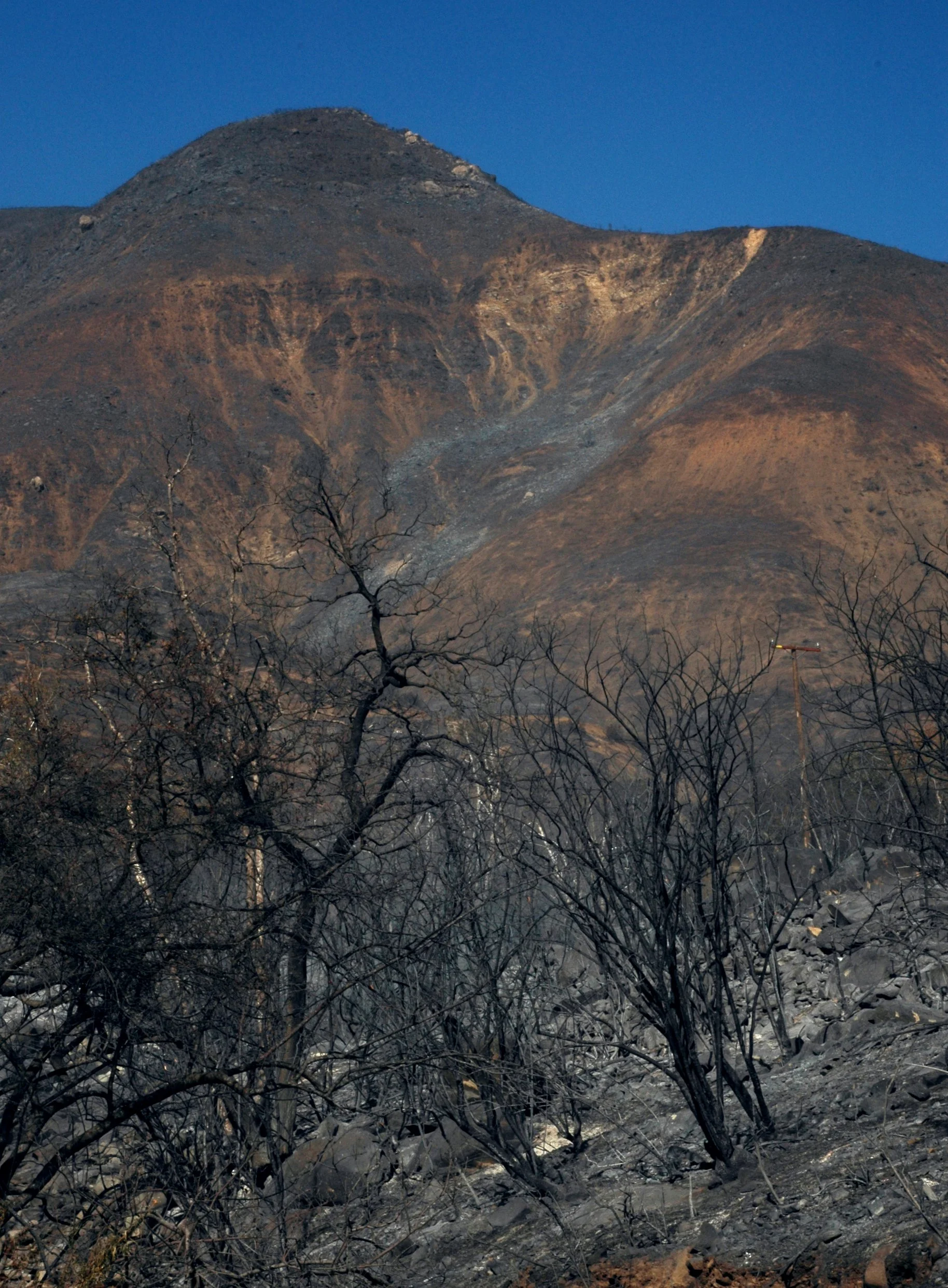

Gridley Rd.
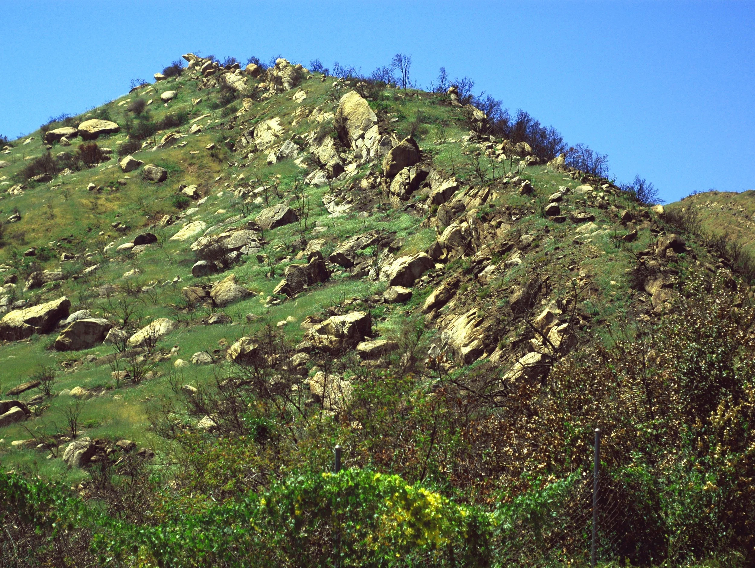
Shelf Rd.

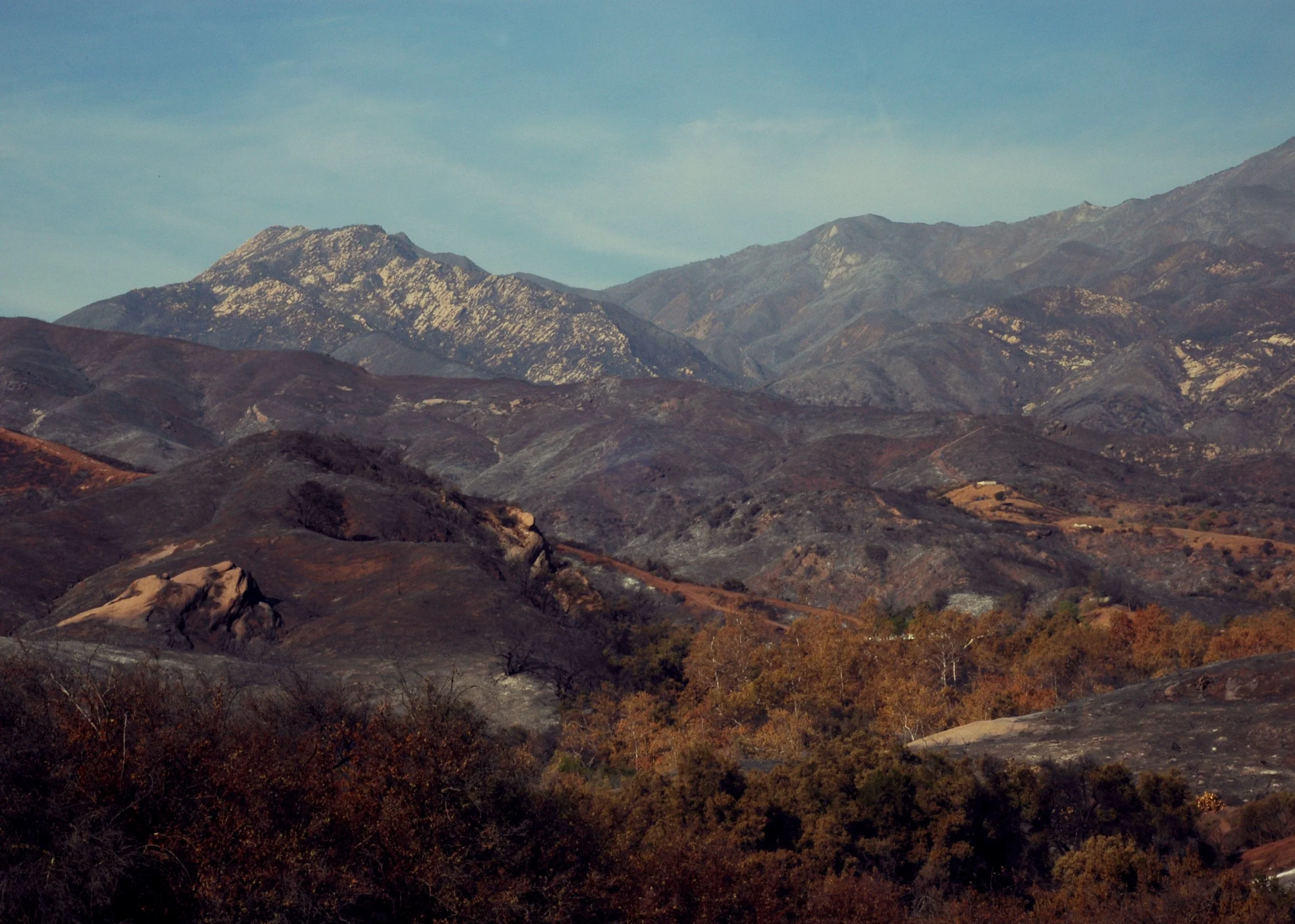
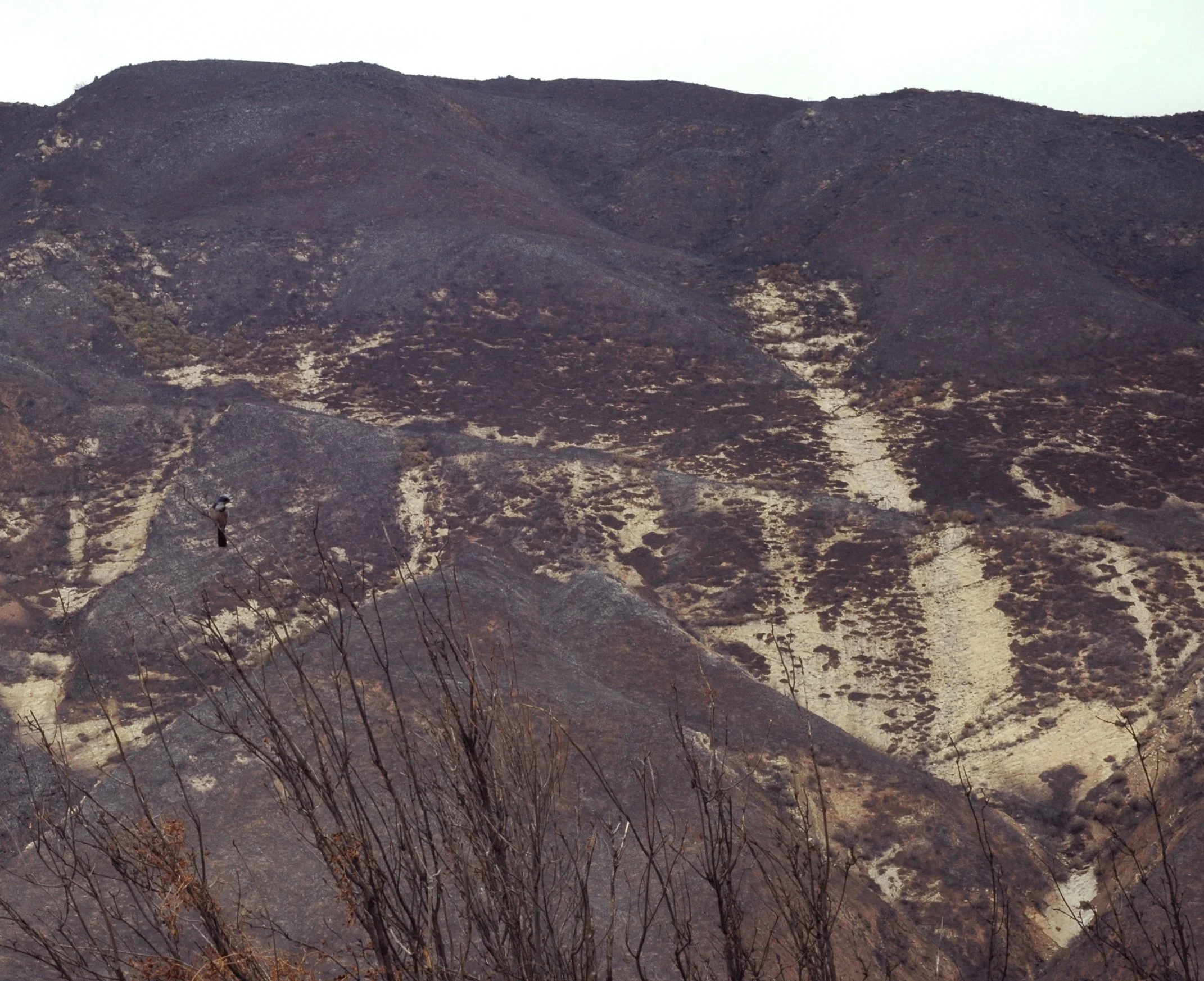
East End


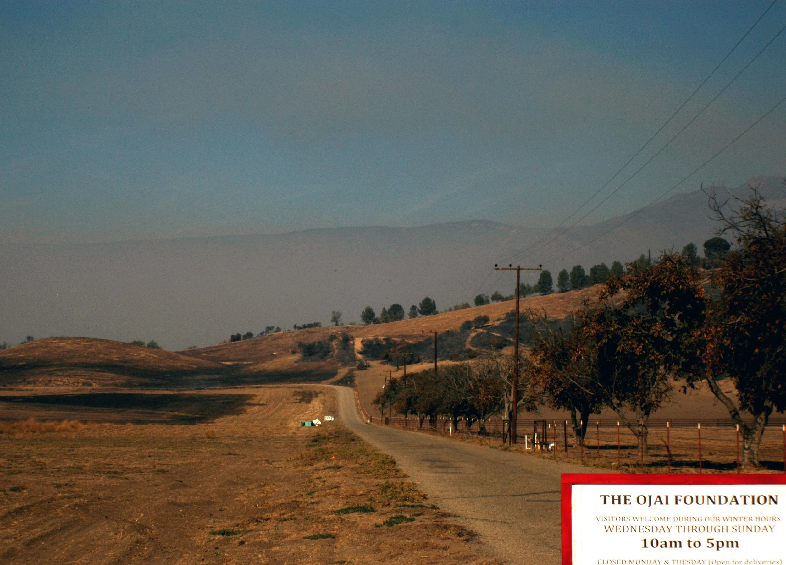
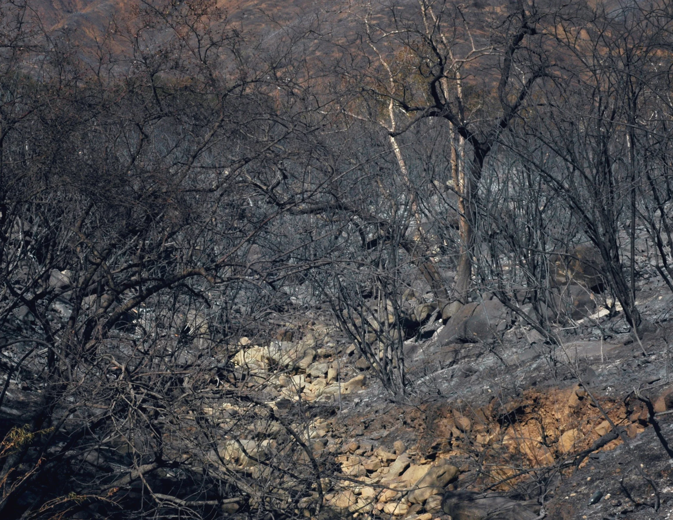
Hwy 150 E

Below Hwy 150 E
Hwy 150 East

12/18-21/2017:

view from top "of the scrubland"

view from top of De La Garigue
singed edge of Taft gardens


Rabbit and mountain lion tracks


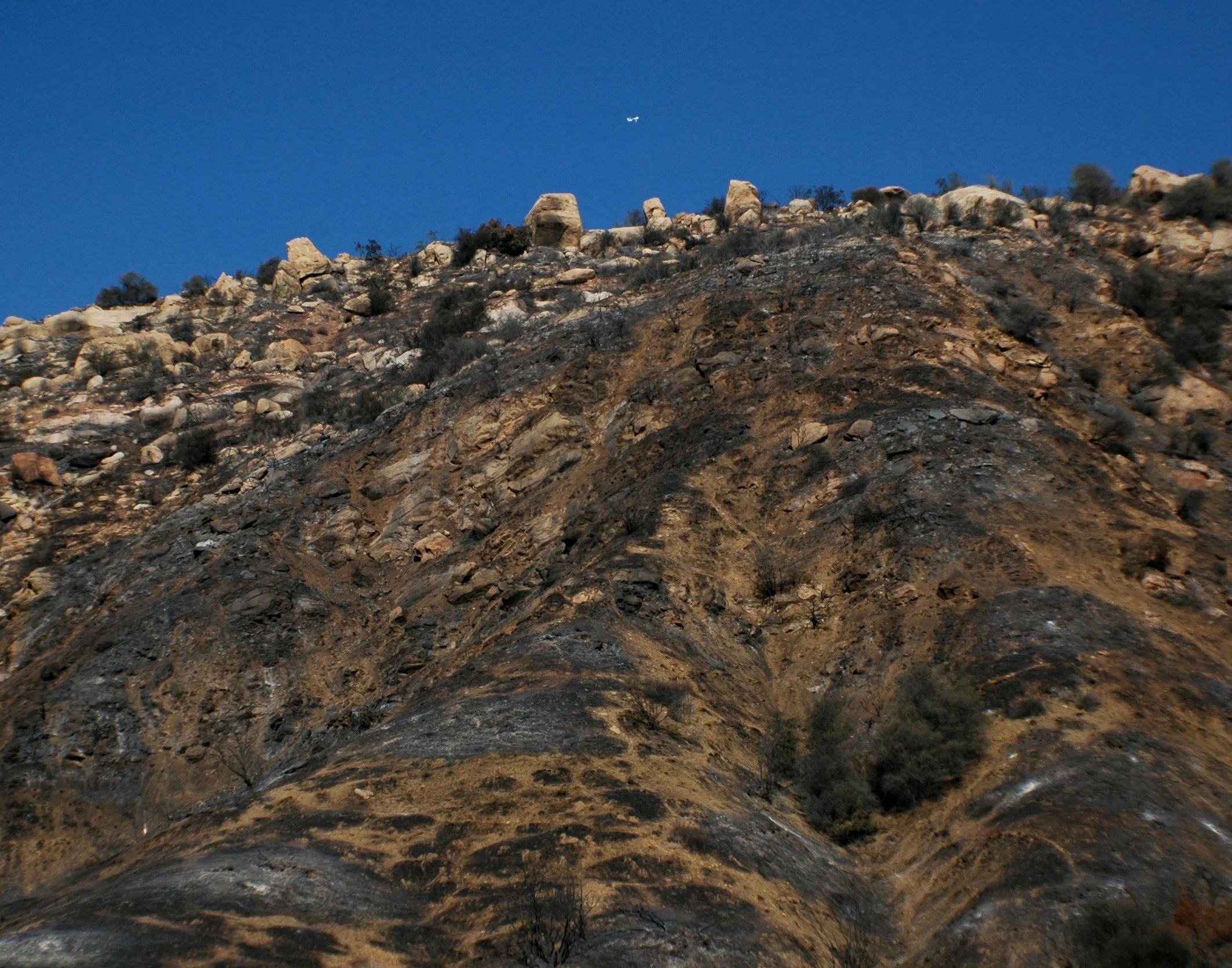
Hills of Hwy 150

Hwy 150 W
View from top of Hwy 150 W
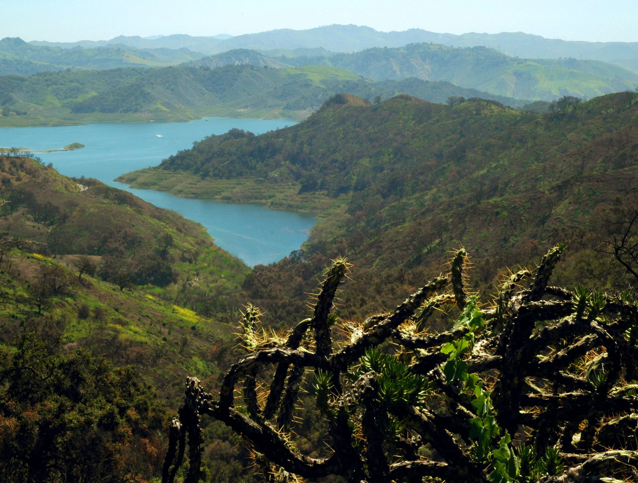
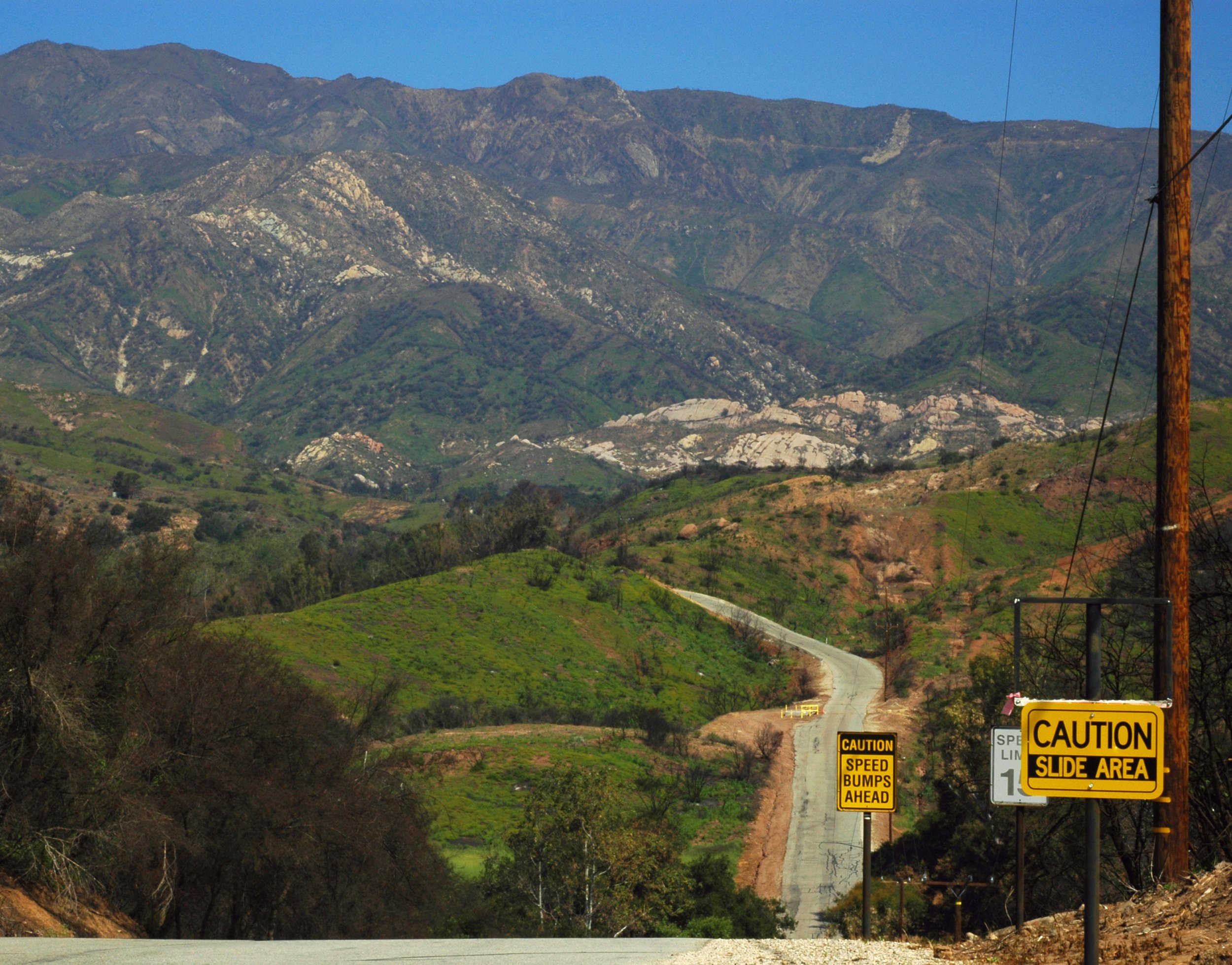
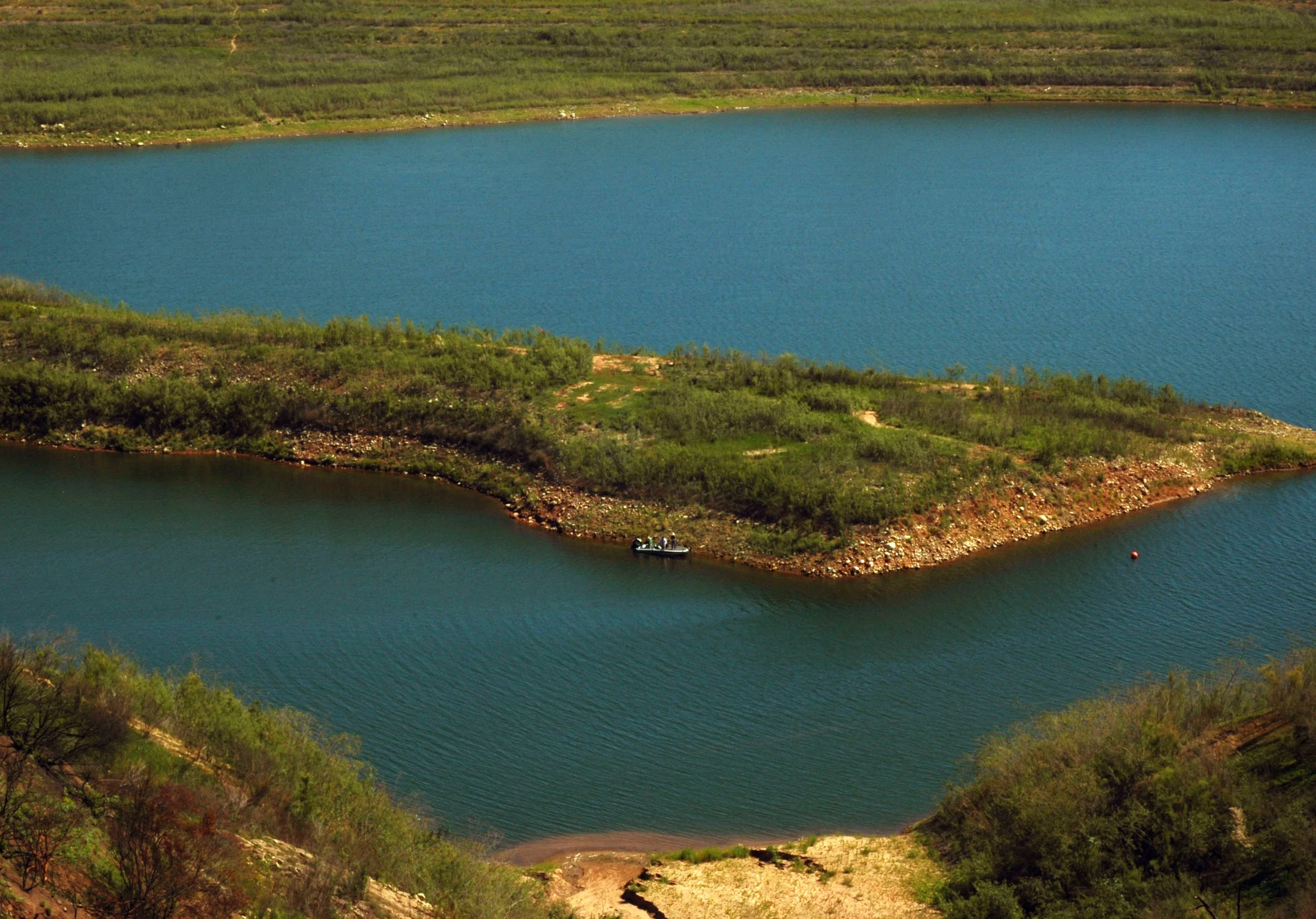
Casitas Lake from 150
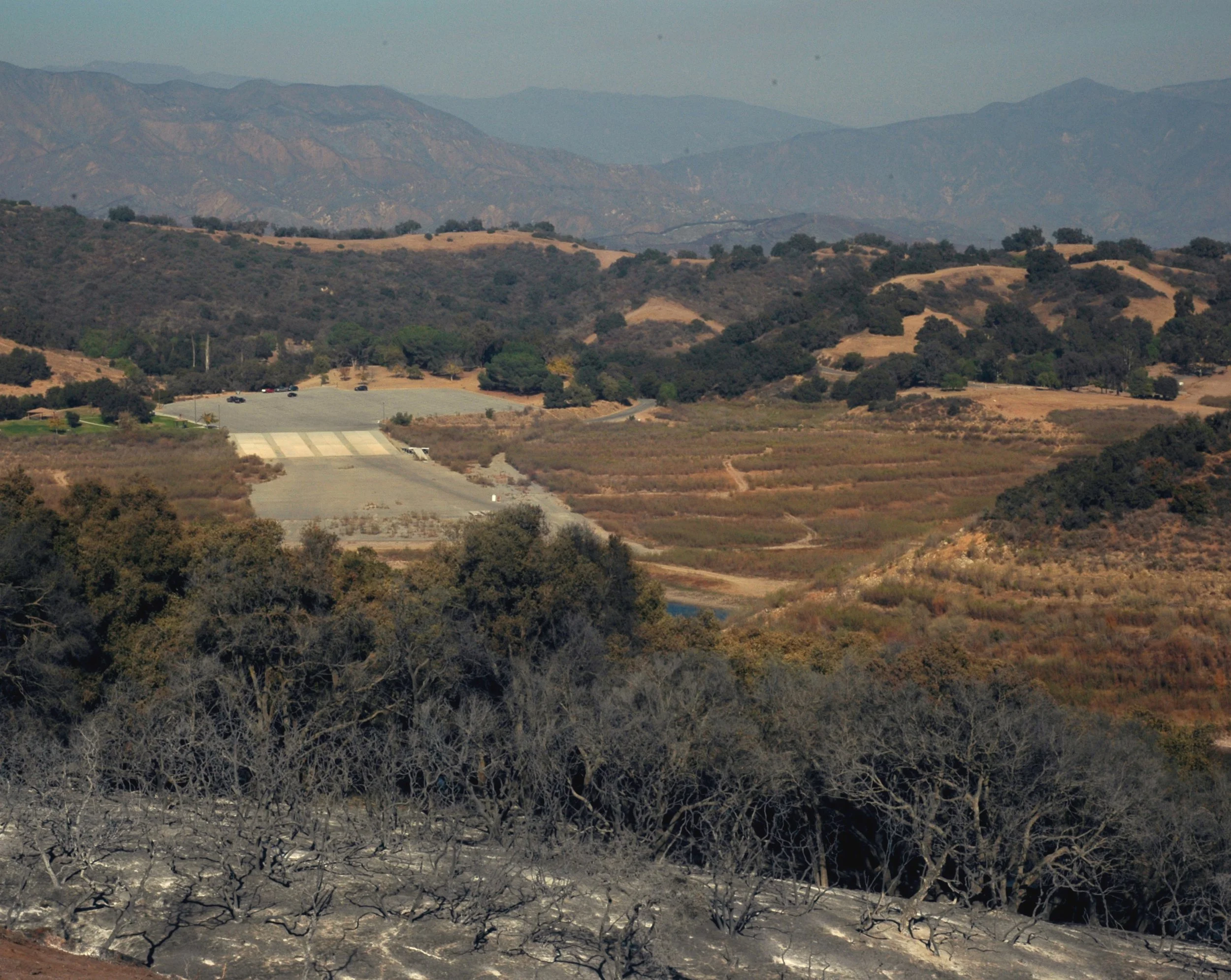
Boat launch as seen from 150


A road that used to be underwater at Lake Casitas


1/4/2018:
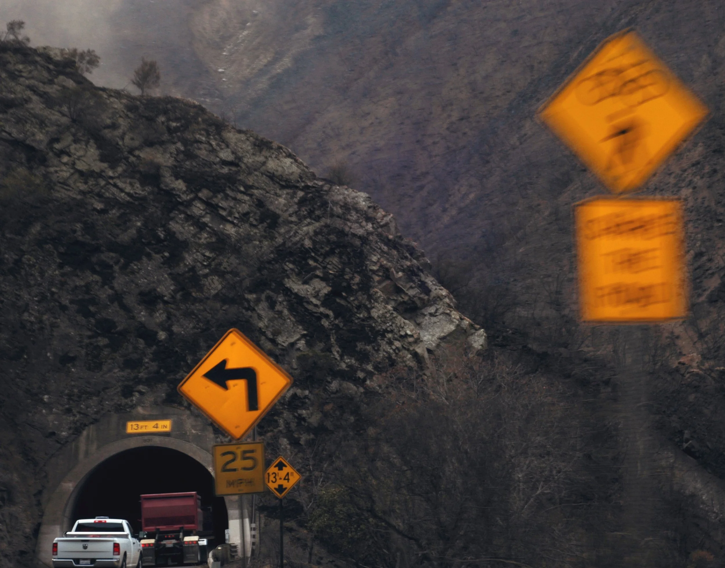
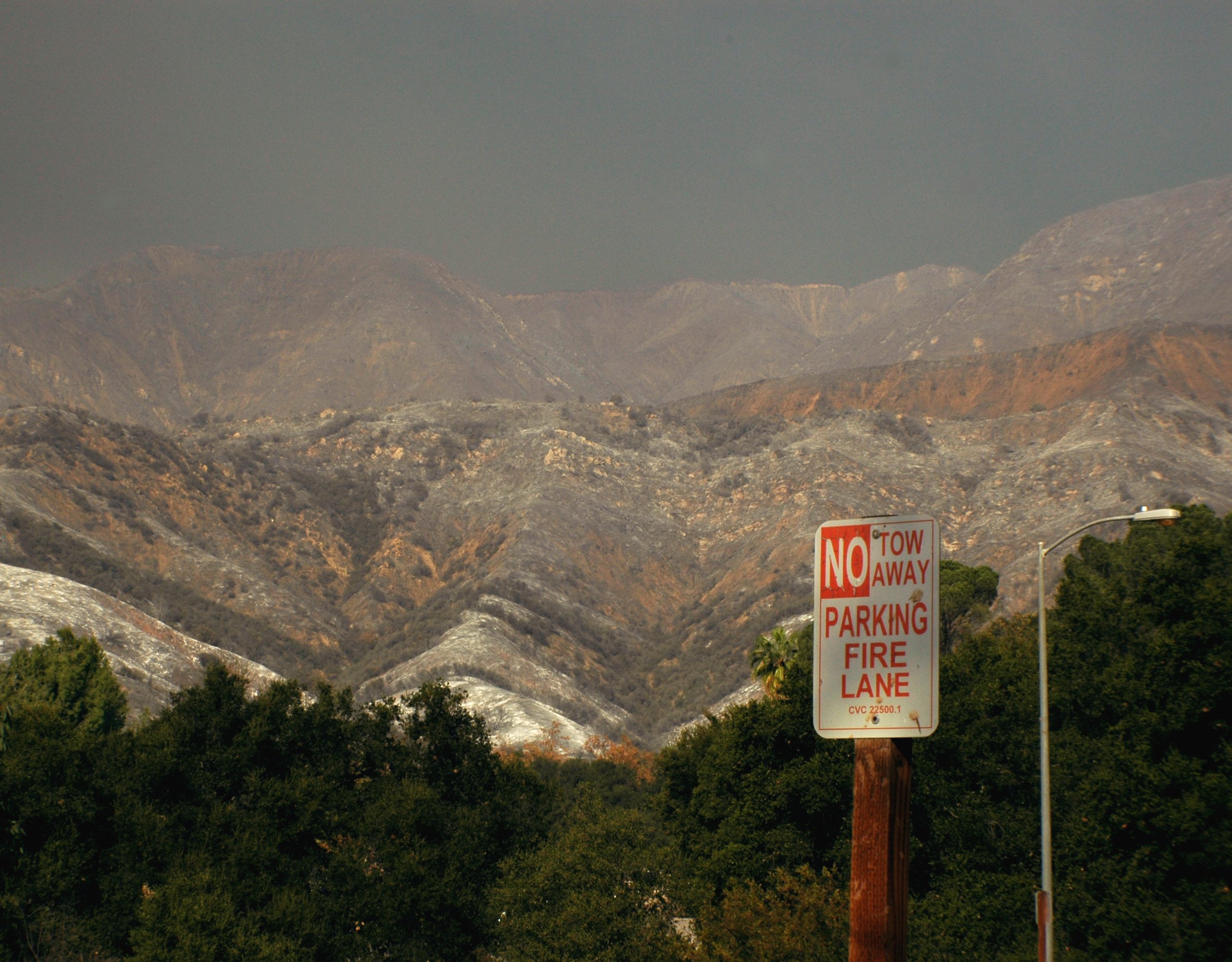
Highway 33 tunnel


Highway 33


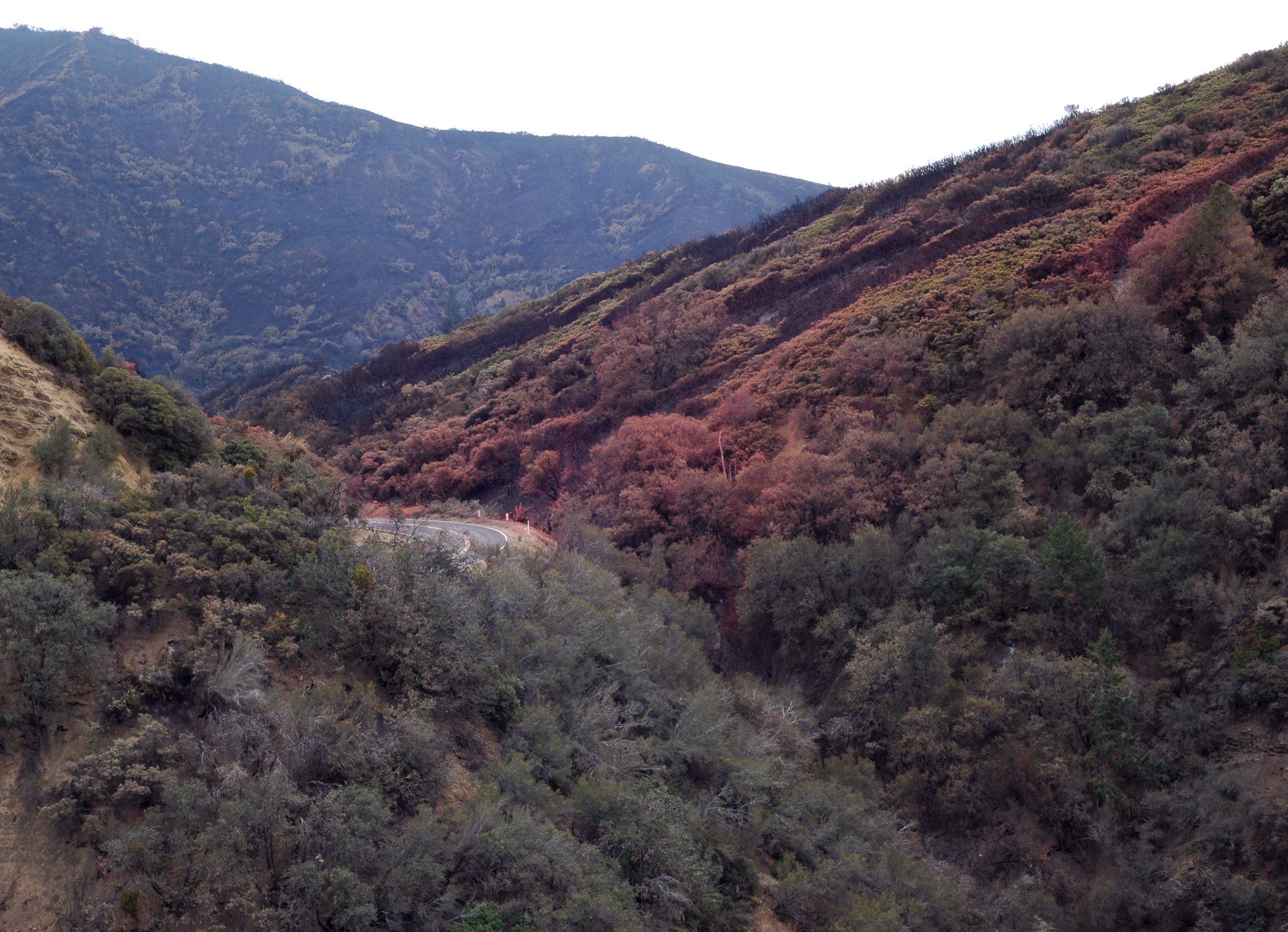
hills painted resistant with red retardant
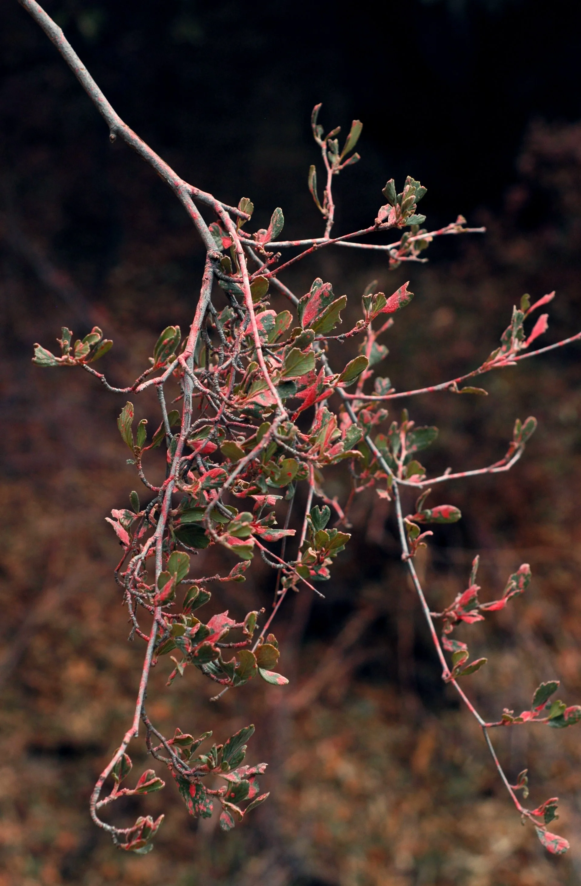
ceanothus with red


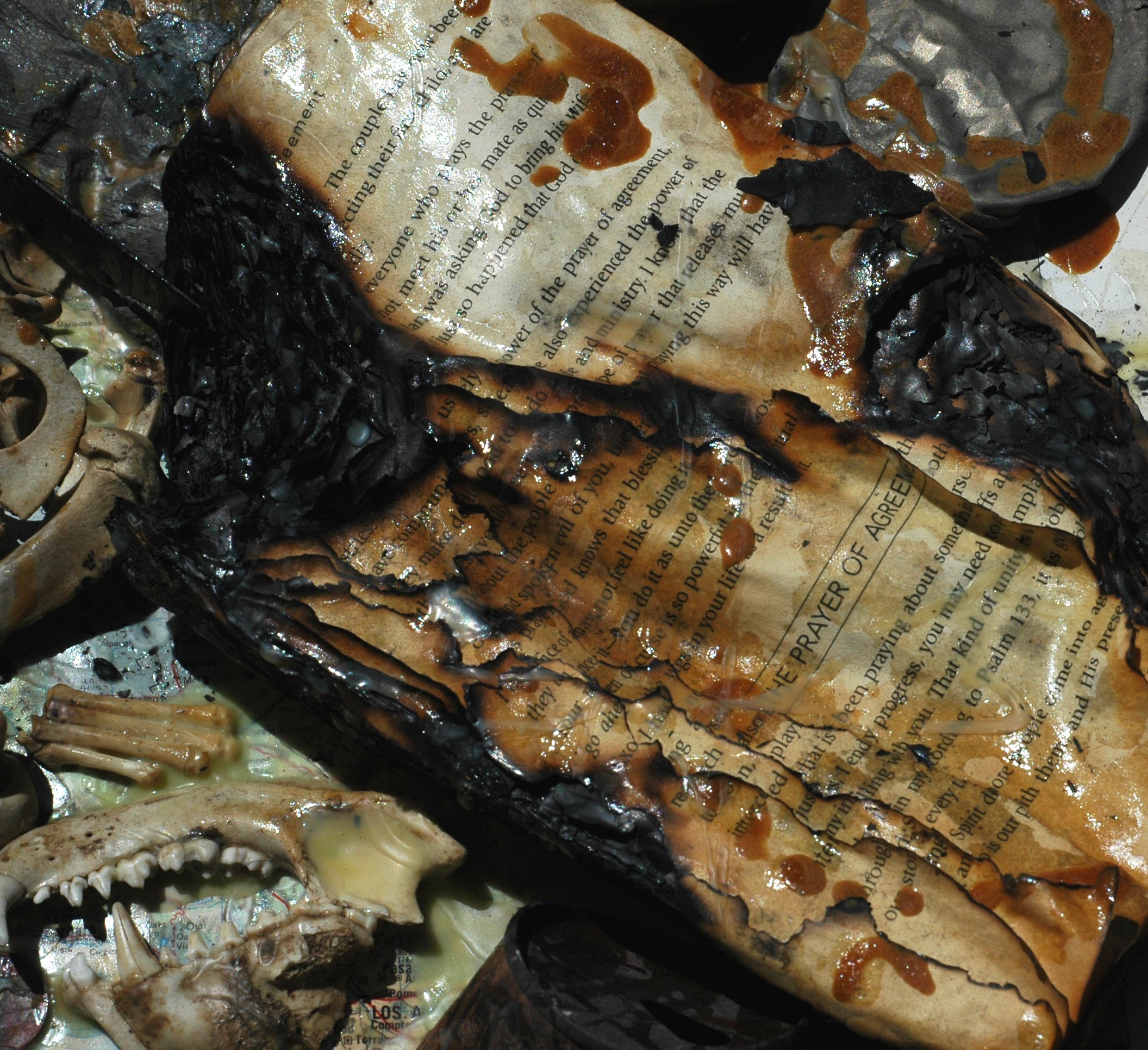
"4. Satan will try to take make us weary in well doing"
The Power of Simple Prayer


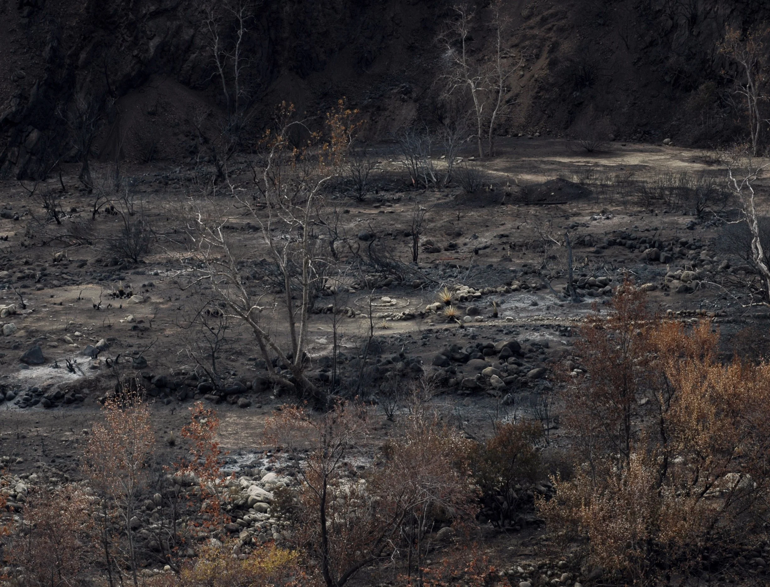
Matilija creek bed
Matilija spiral
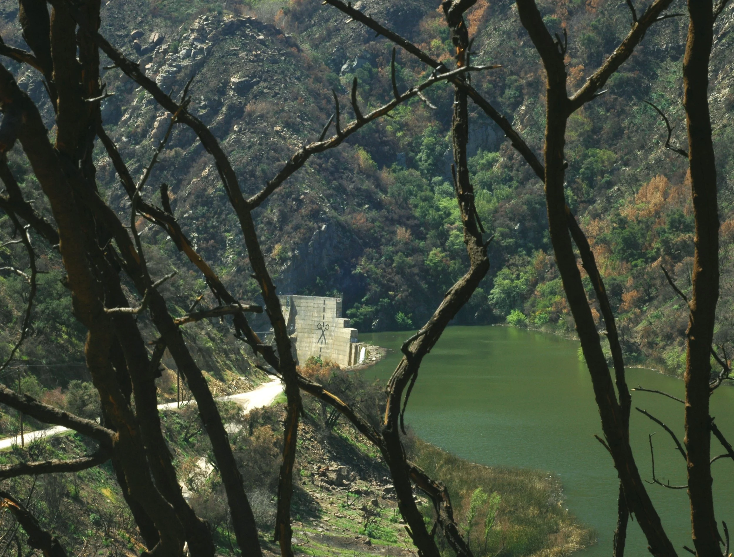
Matilija dam

mirror mirror on the ground...


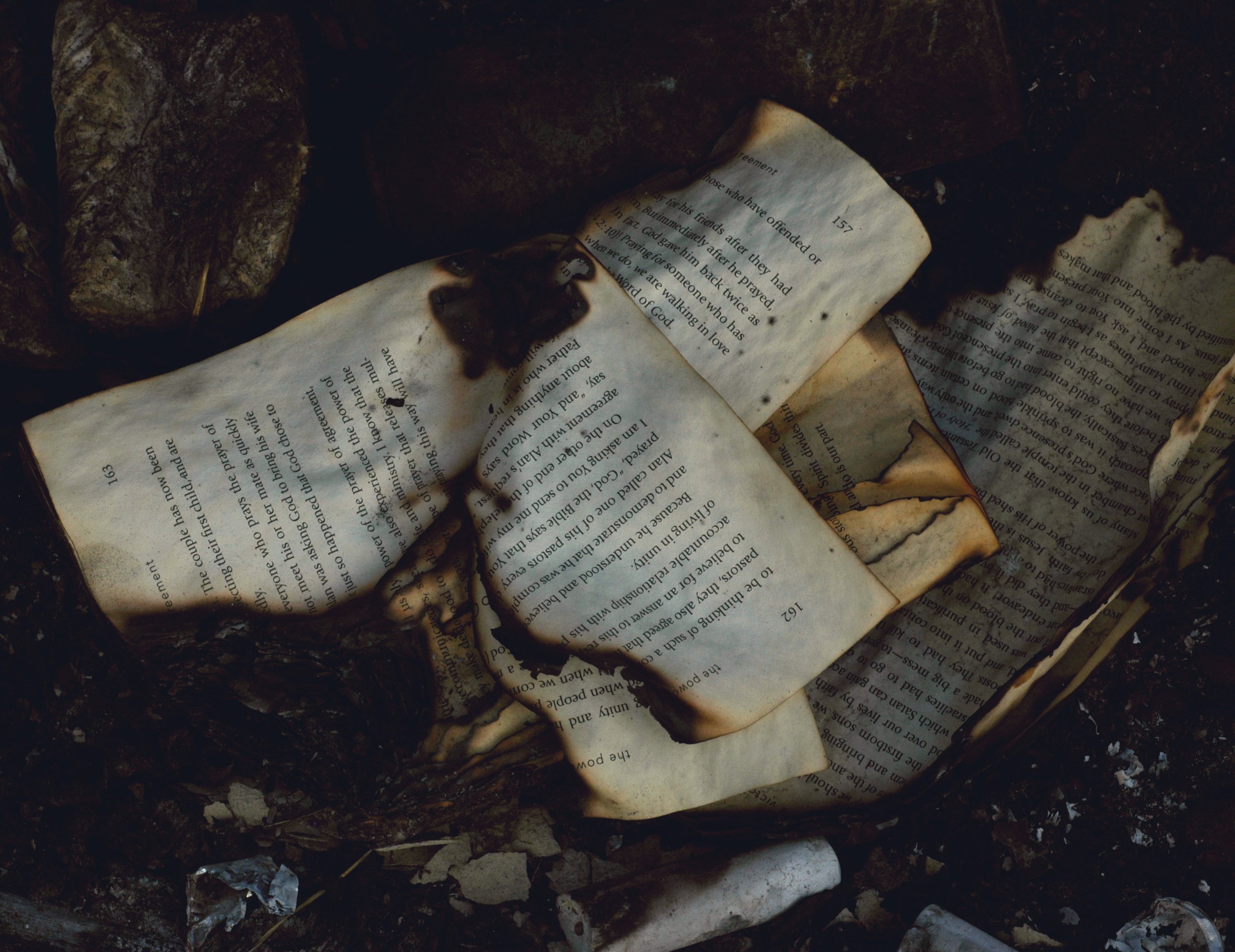
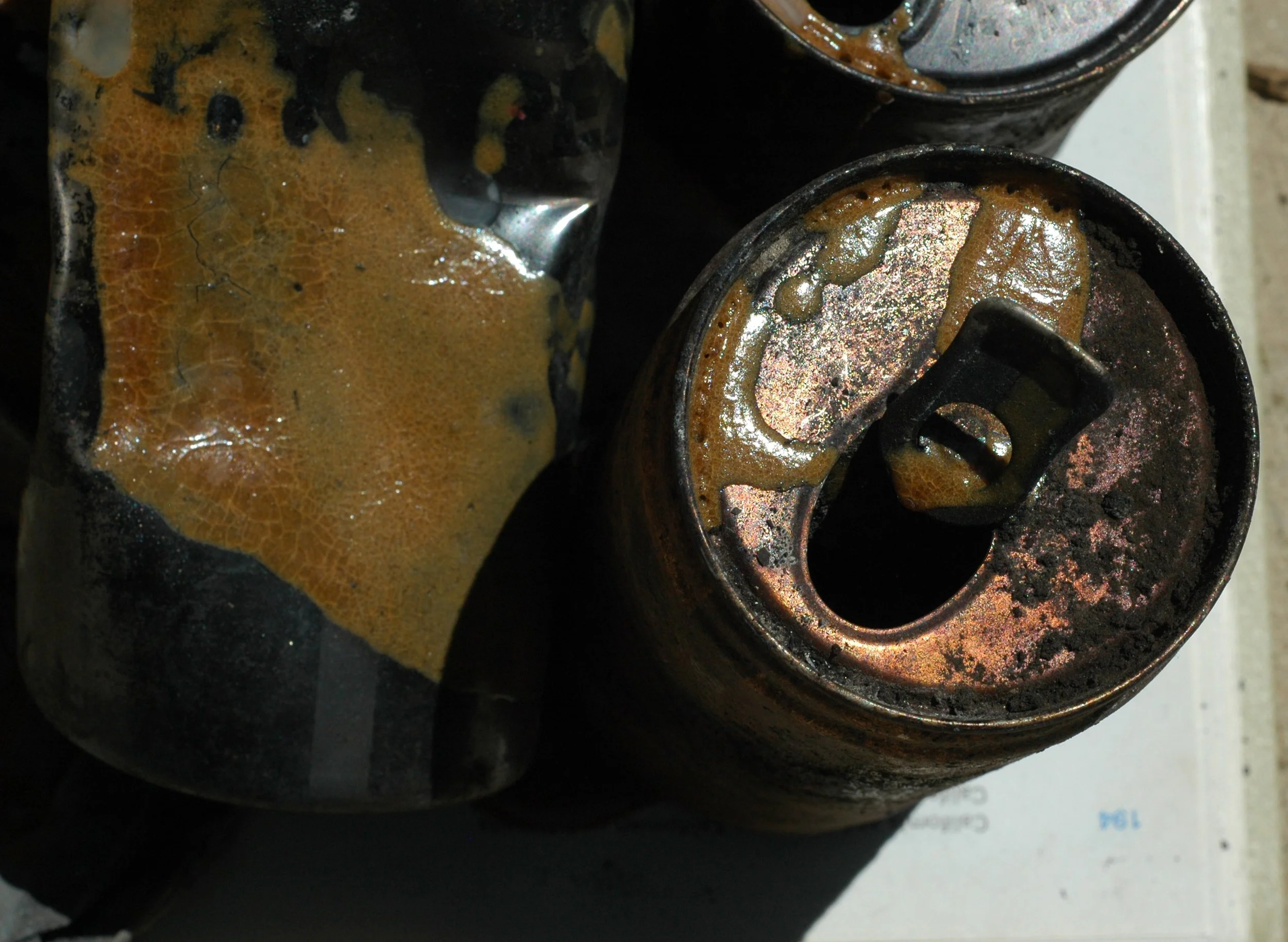
Atlas of Thomas: mixed media sculpture made with collected remnants from the Thomas Fire, 2017


Regeneration: photos taken Spring 2018, following the December 2017 Thomas Fire in Ojai, CA, 4/22, 23, 26/2018:

Hwy 150
View from top of De La Garigue

Towards Taft Gardens

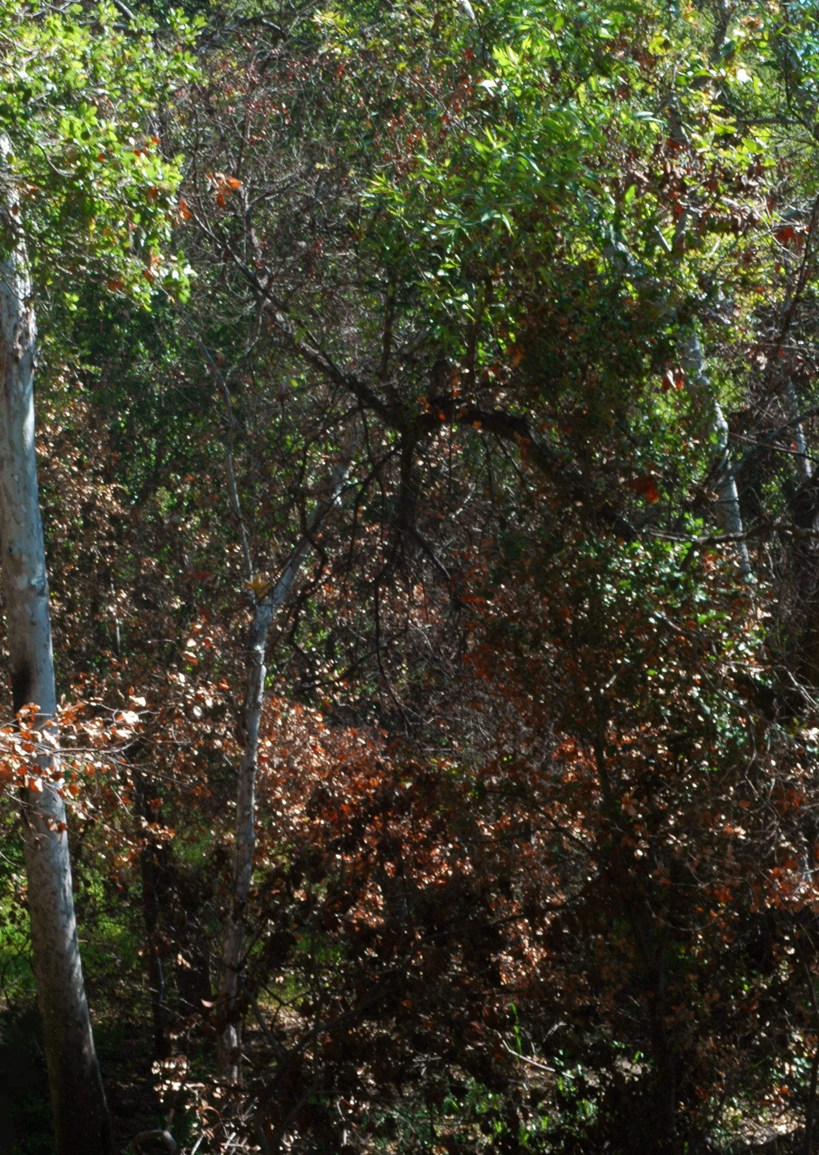
Sycamore and Oak regeneration

New growth on an old oak


New growth on an old oak

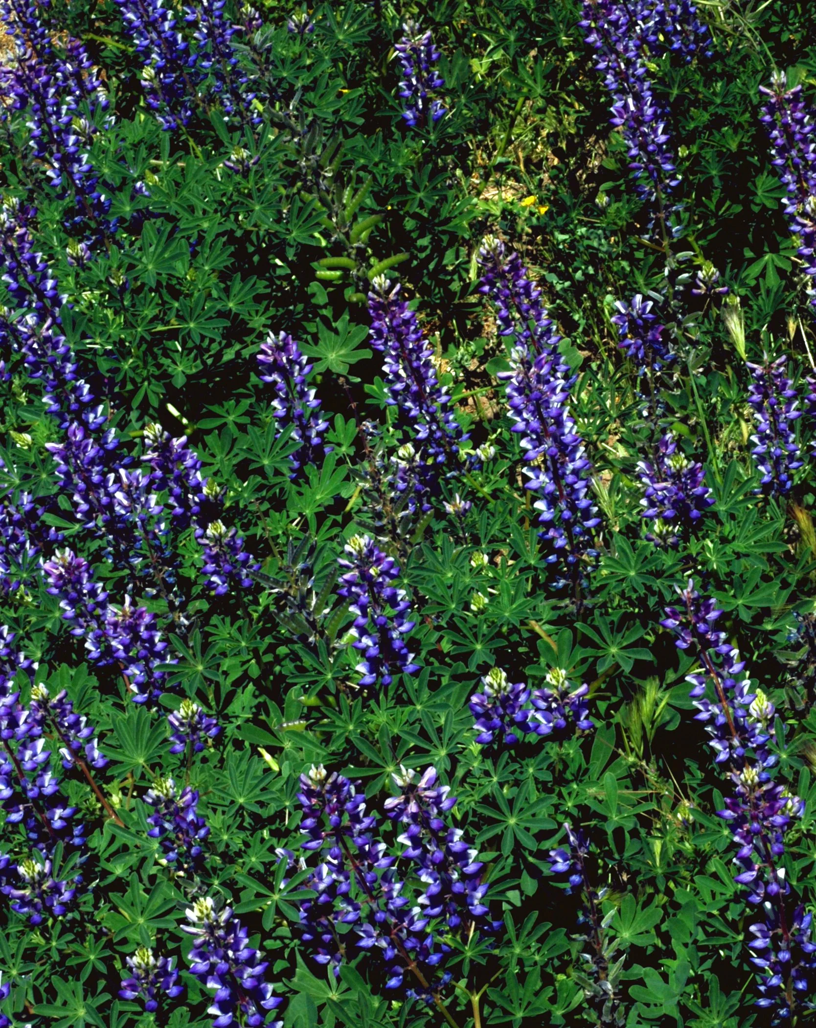
Roadside Lupine
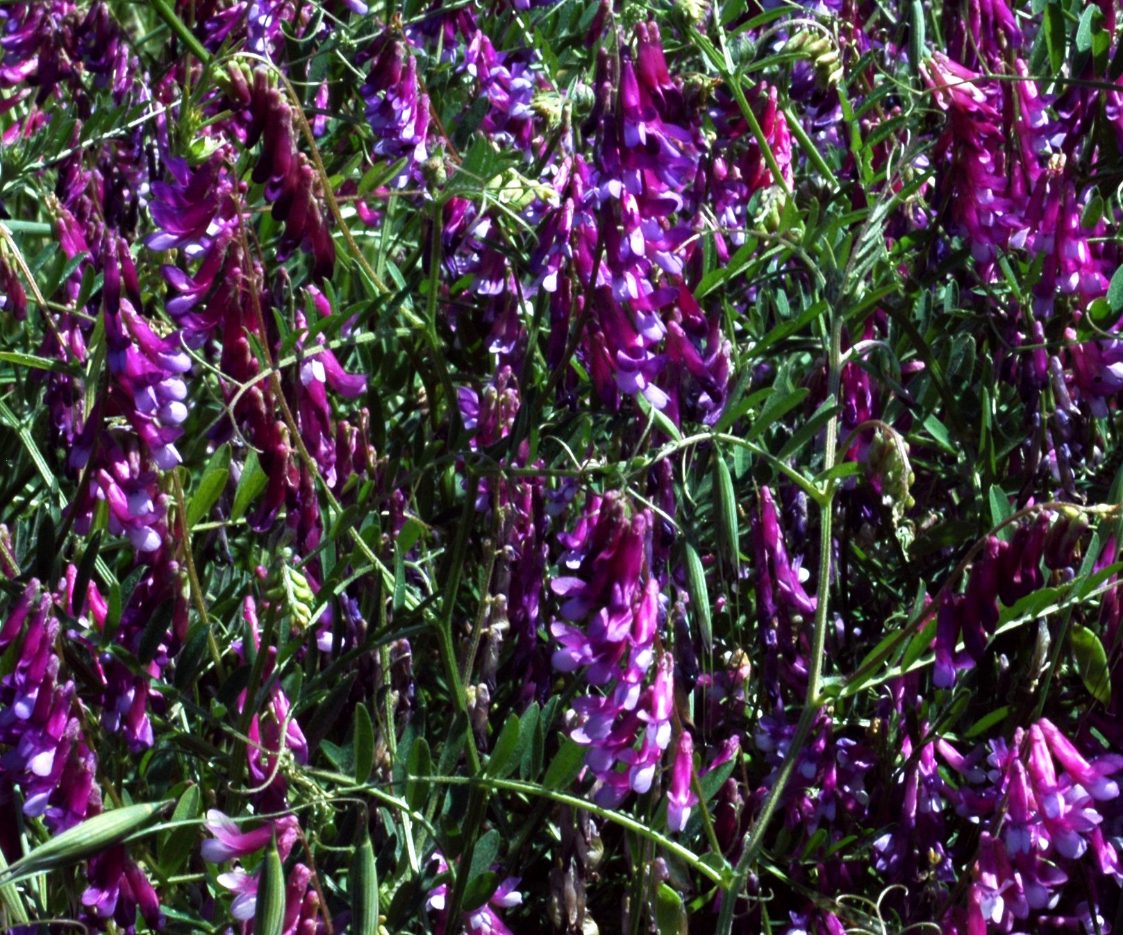
Pacific Pea
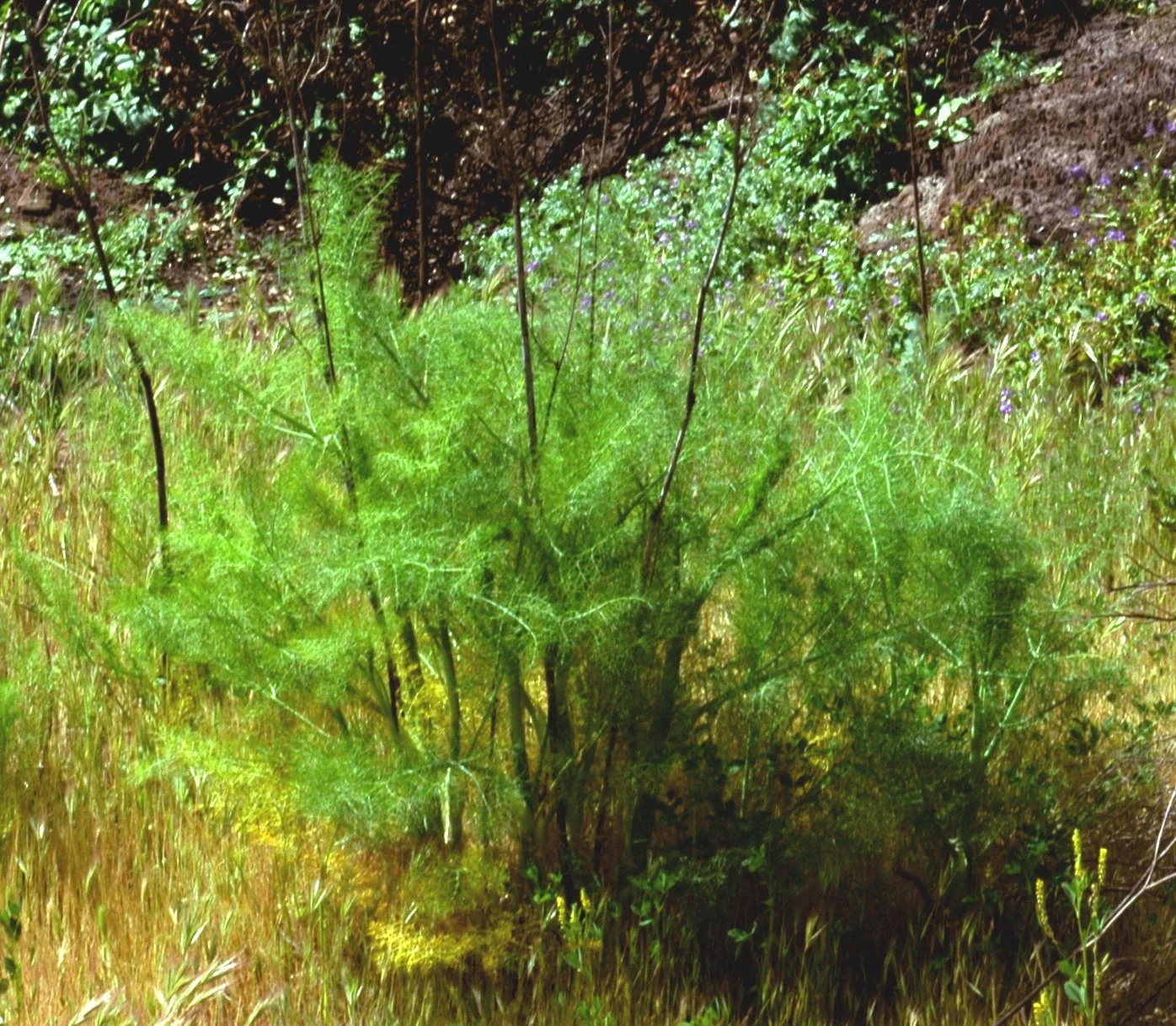
Fennel
Ojai river bed off Rice road

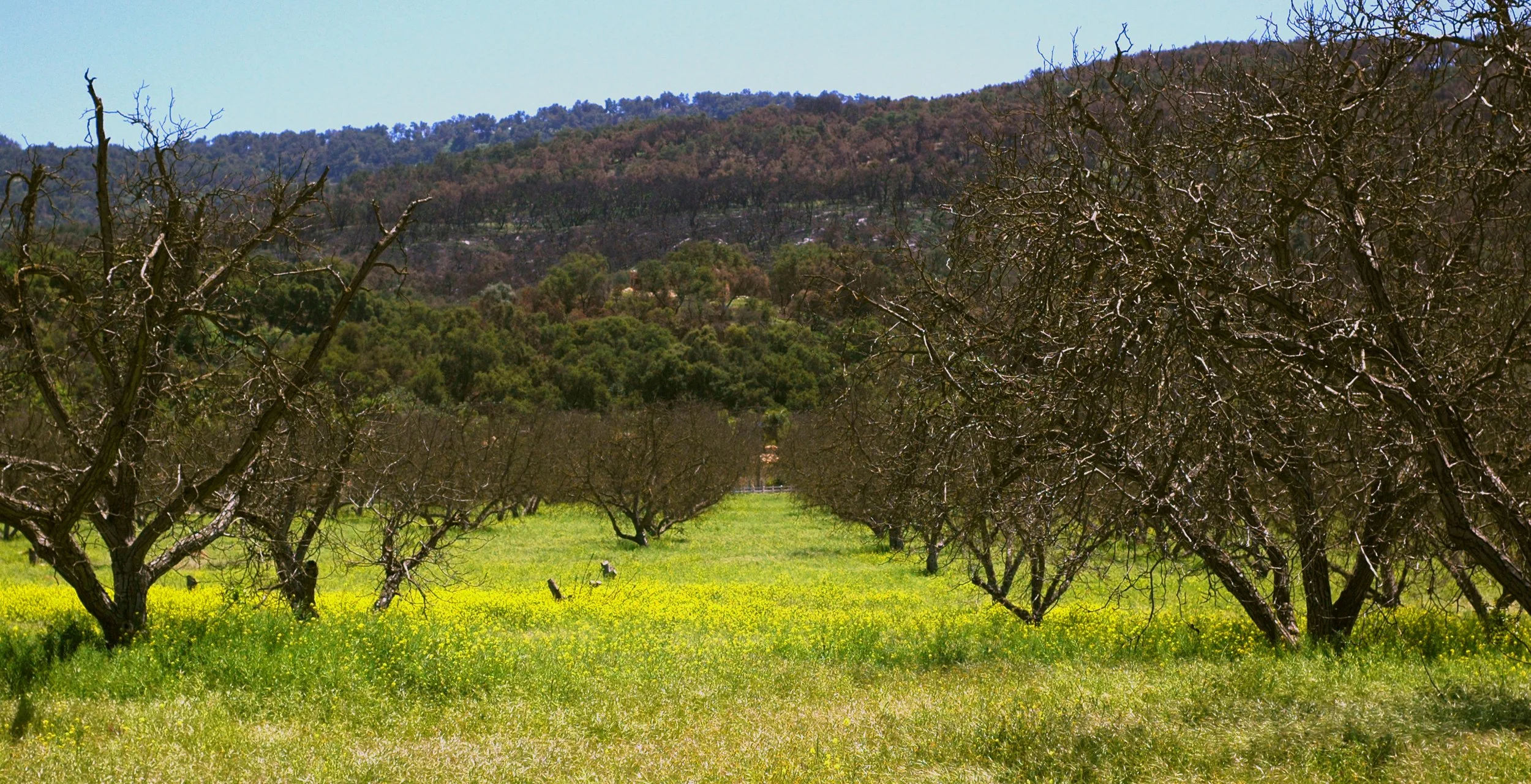
Hwy 33 North orange grove

Towards Matilija Canyon
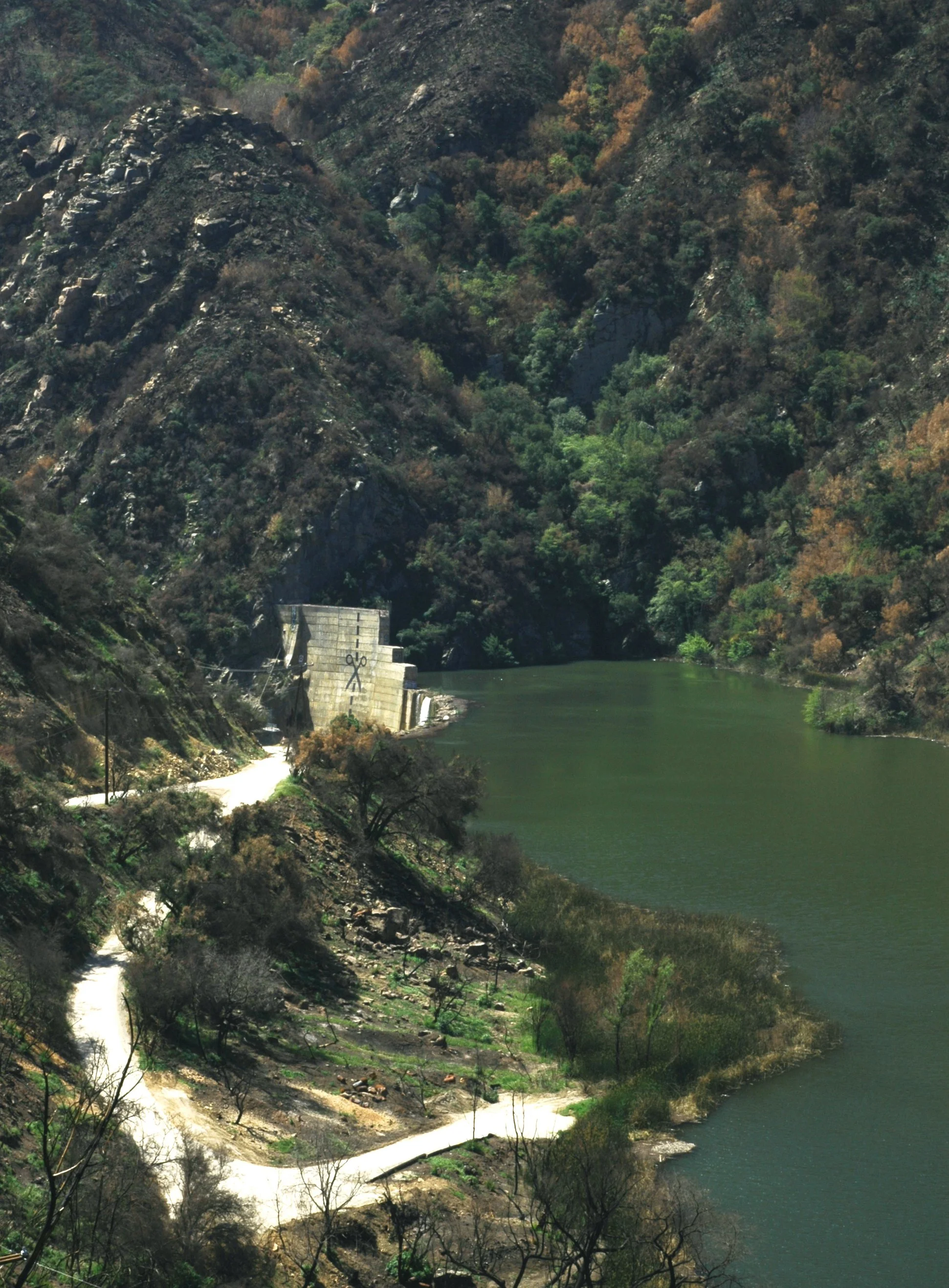
Matilija Dam

Hwy 150 East
As seen from 150 E

Lake Casitas and Topa Topas from 150


150 E hillside
East End hillside

East End avocados,mustard, and lupine in bloom

Gridley Trail

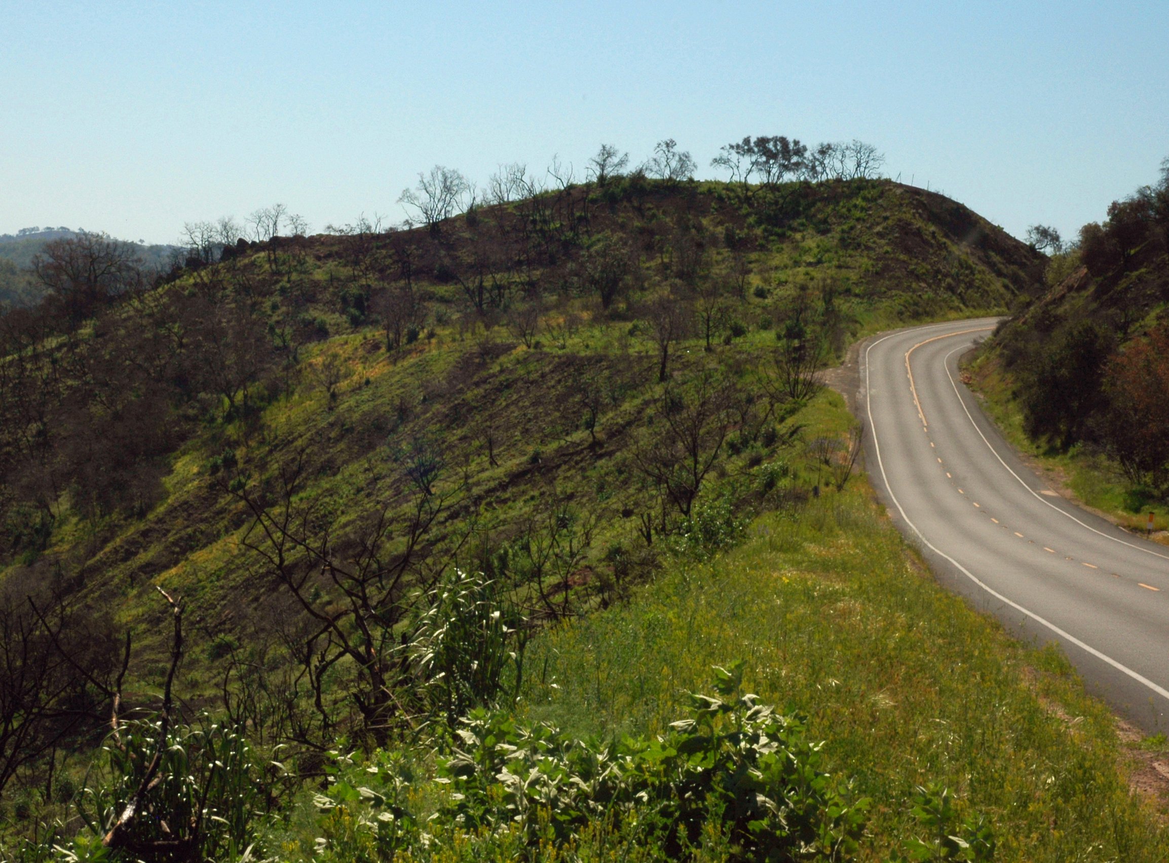
Hwy 150 W towards Upper Ojai